
Where to Walk on Jeju When the Coast Is Unbearable
Jeju in August is a beach island that punishes you for treating it like one. The sensible move is to go up, into the mid-slopes where the cloud sits and the forests are. On the lava sections the effect is not subtle: air moving through the fractured rock underground comes back out at around 15°C all year, so you can step off a trail into the sun and feel the temperature change on your arms.
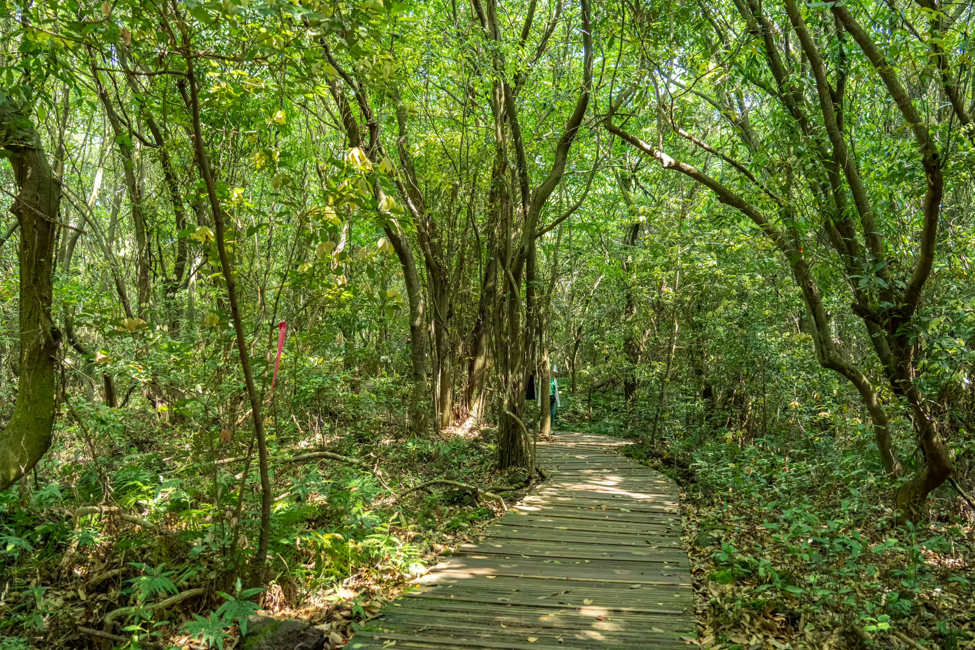
These are the four Jeju forest trails I walked this year, and the point of putting them in one place is that two of them are one kind of forest and two are another, and almost nothing written in English makes that distinction clearly.
Two Completely Different Kinds of Forest
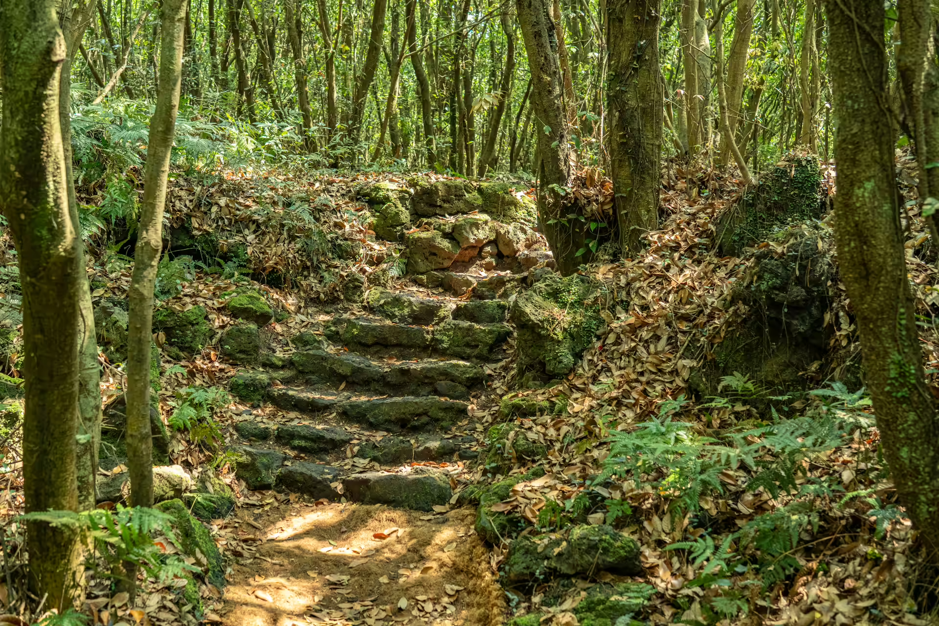
The first kind is gotjawal. Two Jeju words — got, forest, and jawal, tangle — describing woodland that grew on lava which never broke down into soil. The ground is broken rock all the way through: rain falls straight into it instead of running off, and researchers at the National Institute of Forest Science measured an average of 42 percent of rainfall being stored underground in the tracts they studied. That is the island’s drinking water, and it is why gotjawal keeps getting protected while the golf courses get built next to it.
Gotjawal is also not old-growth, whatever you have read. It was cut for charcoal on roughly thirty-to-forty-year rotations for centuries, which quietly selected for trees that resprout from the stump. The multi-stemmed evergreen oaks are the fingerprint of that.
The second kind is planted Japanese cedar. It arrived from Japan in the 1920s and went in across roughly nine thousand hectares during the reforestation drives of the 1970s, later becoming the standard windbreak around tangerine orchards. Fifty years on those trees run to thirty meters, in rows, over a soft floor of needles. It is beautiful and it is agricultural, and Jeju’s feelings about it are mixed enough that a road-widening scheme through one such stand ran into seven and a half years of protest, surveys and stoppages.
Walking a gotjawal and walking a cedar plantation are not variations on the same afternoon. One is uneven, humid, tangled, and about geology. The other is level, quiet, orderly, and about light.
The Four, Side by Side
Prices and distances are the easy part. In practice people choose on two things the brochures bury: whether the trail is step-free, and whether it shuts when it rains. Both are in the table.
| Trail | Gotjawal Provincial Park | Hwansangsup | Saryeoni | Samdasu |
|---|---|---|---|---|
| Type | Gotjawal | Gotjawal | Cedar plantation and natural broadleaf | Cedar plantation and gotjawal edge |
| Where | Daejeong, southwest | Hangyeong, west | Eastern mid-slopes | Gyorae-ri, eastern mid-slopes |
| Admission | 1,000 won | 5,000 won | Free | Free |
| Distance options | 1.8 / 3.8 / 4.0 / 4.5 / 6.7 km | About 1 km | 2 km boardwalk return, or 10 km crossing | 1.2 / 5.2 / 8.2 km |
| Guided walk | Free, twice daily in Korean; Saturdays in English (confirm) | Hourly, included, Korean | Event only — Mulchat Oreum, late May or June, by phone | Village festival only |
| Step-free | Course 1, mostly decked, rebuilt 2026 | No | Yes — the best on the island | No |
| Booking | No | Yes, required | No | No |
| Closed | Never scheduled; entry stopped in typhoons | Sundays | Rain days, plus two days after | Never |
If You Only Have One Morning: Jeju Gotjawal Provincial Park
This is the one I would send a first-time visitor to, and the reason is density of information per hour. A thousand won gets you five interlocking trails, a fifteen-meter tower that lets you read the shape of the lava flow through the treetops, and a free hour-long guided walk at ten and at two. It sits on the tail of the longest gotjawal flow on the island, the one that came out of Doneori Oreum and ran all the way to the south coast.
Two practical notes that will save you an argument at the gate. It reopened on 1 August 2026 after a summer closure for barrier-free trail work, so anything you read from June or July about it being shut is out of date. And the footwear rule is enforced: without hiking shoes or sneakers you are restricted to Course 1. Last admission is 4:30 p.m. from March to October and 3 p.m. in winter.
Take Course 3 — four kilometers, ninety minutes, and it puts you on the sections where the ground stops behaving like a park. I have written it up trail by trail, with the routes and the rules.
If You Want It Explained: Hwansangsup Gotjawal Park
A kilometer of trail, five thousand won, and a guide who leaves on the hour every hour and will take the walk with a single visitor. It is the shortest walk of the four and the one you will remember most of.
It is also the only one with a story attached to a person. The owner cleared roughly 650 meters of this path by hand after a stroke at 47 took the feeling out of his right hand. He shifted the lava with that hand anyway, day after day, and the sensation came back. The family opened it to the public in 2011 because people were digging up the rare plants and a ticket gate meant somebody was always there.
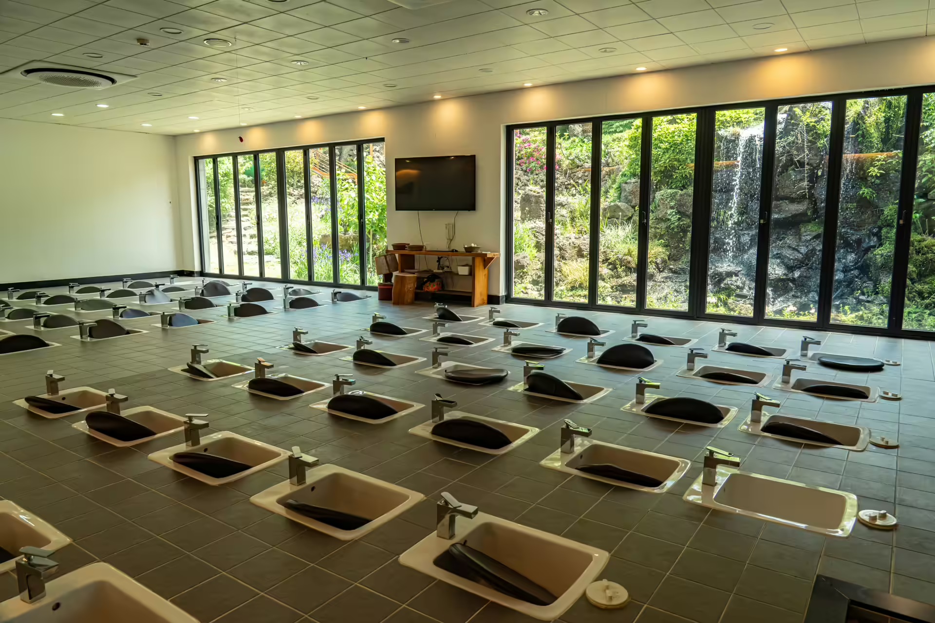
Two things to plan around: it is closed on Sundays — that changed in January 2026, and some English listings have not caught up — and booking has been required since 2022. The commentary is in Korean and there is no regular English walk. Afterwards there is a foot bath café with floor-to-ceiling windows onto the forest, thirty minutes for 12,000 won, or 9,000 with a booked forest program. The longer account of the place and the family behind it is worth reading before you book.
If Someone in Your Group Can’t Manage Rough Ground: Saryeoni Forest Path
Saryeoni is the famous one, and its accessible boardwalk is the single best piece of inclusive design in a Korean forest I have used. Roughly 1.2 to 1.3 kilometers of timber deck out from the Bulgeun Oreum entrance, wide curves, gentle gradients, braille panels, two wheelchairs and two strollers lent free at the visitor center, accessible restroom at the desk.
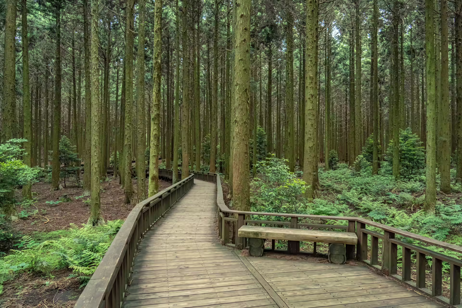
Start at the right end. There are two bus stops with almost the same name; the one you want is Namjo-ro Saryeoni Forest Path, served directly from the airport by the express 131 and 132. The Bijarim-ro entrance has no parking lot and adds a couple of kilometers of old roadway before the forest closes over.
Then the two rules that catch everyone: last entry is 2 p.m. from April to September and noon in winter, and the forest closes when it rains and for two days afterwards. Food is not allowed; water bottles are. Full guide here, including which bus goes where.
If You Want to Be Alone: Samdasu Forest Trail
Twenty minutes from Saryeoni’s overflowing parking lot, on the same mid-slope band, free, and almost empty. The Samdasu Forest Trail was built in 2010 by the corporation that bottles Jeju Samdasoo together with the village of Gyorae-ri, out of forest roads the villagers were already using, and in January 2018 the area became the thirteenth geosite of the Jeju UNESCO Global Geopark.
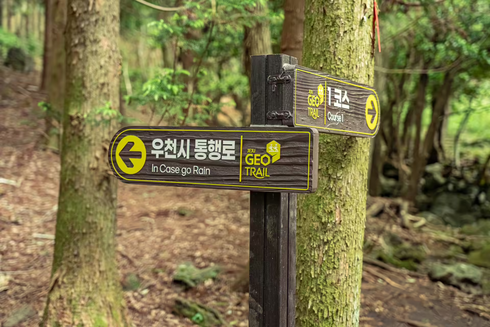
Three courses: 1.2 kilometers, 5.2 and 8.2, the two long ones named for the herders and hunters who used this ground when it was open pasture. There is an exposed cross-section of aa lava on the route, and stretches of jatseong — the low stone walls that bounded Joseon-era state horse ranches — running through trees that were not there when the walls were built.
No boardwalk, no accessible section, natural earth throughout. Bring water; there is none on the trail. Afterwards, the crossroads in the village is a designated specialty district for Korean native chicken, which settles the question of dinner. Full guide here.
When to Walk Which
The two forest types peak at opposite ends of the year, which is the most useful scheduling fact nobody puts in a guidebook.
Gotjawal is a summer and winter forest. In August the vents make it noticeably cooler than the coast, and in January they make it milder — the evergreen oaks hold their leaves, the ferns stay green, and a gotjawal in deep winter looks almost exactly like a gotjawal in June. If you are on Jeju between December and February and everything else feels shut, this is the thing that is still working.
The cedar plantations peak in the shoulder seasons. May and October give you the low, raking light that makes the trunk rows worth photographing, and the broadleaf middle section of Saryeoni turns over in late October. Midsummer under cedar is fine but flat; midwinter is dark by four.
Avoid the rainy season for anything unpaved. Late June and July bring Jeju’s heaviest rain, and that is exactly when Saryeoni’s two-day closure rule bites hardest and Samdasu pushes you onto its wet-weather detour. If your dates are fixed in that window, weight your plan toward the provincial park’s decked Course 1 and the guided kilometer at Hwansangsup, both of which run in weather that shuts the others.
Three Things That Apply to All Four
Shoes. Only the provincial park enforces a rule, but all four have sections where broken lava sits under leaf litter. Open-toe sandals are a bad idea in every one of them.
Rain changes everything. Saryeoni shuts for two days afterwards. Samdasu diverts you onto a marked wet-weather route. The provincial park stays open but bans umbrellas, trekking poles and crampons to protect the ground, so pack a hooded jacket rather than an umbrella. Jeju rains hard; assume you will lose one forest day in four.
Google Maps does not navigate Korea. Install Naver Map or KakaoMap before you fly, and search the Korean-script addresses rather than the English names — Saryeoni in particular resolves to different pins depending on which entrance you meant. Papago handles the signage better than Google Translate.
Putting Them Together
They pair geographically, two and two. The provincial park and Hwansangsup are both in the west, about half an hour apart, on the same lava flow, and they make a full day with the O’sulloc tea museum in between — one cheap and broad, one small and narrated. If you are basing yourself out there, the resort campus at Jeju Shinhwa World is in the middle of that triangle.
Saryeoni and Samdasu are both in the eastern mid-slopes, twenty minutes apart, and doing them on the same day is the clearest way to feel the difference between a forest that is managed for visitors and one that is merely open. Saryeoni in the morning before the lot fills, lunch at the Gyorae crossroads, Samdasu in the afternoon.
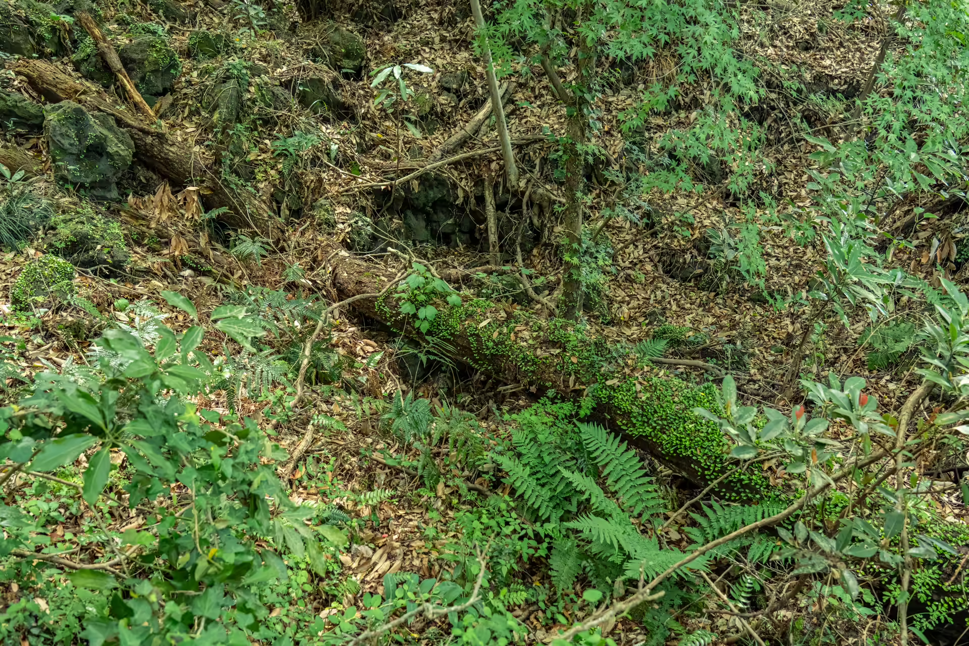
Doing all four takes two days, and it is a strange, good way to spend them on an island most people come to for the coast. All four sit on the same thing: rain going into broken rock, staying there, coming back out at 15°C, and eventually arriving in a plastic bottle with a picture of Hallasan on it.
The Travel Manual: Four Jeju Forest Trails
| Jeju Gotjawal Provincial Park | 178 Educity-ro, Daejeong-eup, Seogwipo-si · 제주 서귀포시 대정읍 에듀시티로 178 · 064-792-6047 · 1,000 won adults, 800 youth, 500 children · open daily, last admission 16:30 and closing 18:00 (Mar–Oct) / last admission 15:00 and closing 17:00 (Nov–Feb) · express bus 151 direct from the airport |
| Hwansangsup Gotjawal Park | 594-1 Nokchabunjae-ro, Hangyeong-myeon, Jeju-si · 제주 제주시 한경면 녹차분재로 594-1 · 064-772-2488 · 5,000 won · 09:00–17:30, closed Sundays · booking required |
| Saryeoni Forest Path | Bulgeun Oreum entrance, Gasi-ri, Pyoseon-myeon, Seogwipo-si · 서귀포시 표선면 가시리 (붉은오름 입구) · 064-900-8800 · free · 09:00–17:00, last entry 14:00 (Apr–Sep) / 12:00 (Oct–Mar) · closed on and after rain |
| Samdasu Forest Trail | 606-1 Gyorae-ri, Jocheon-eup, Jeju-si · 제주 제주시 조천읍 교래리 606-1 · 064-782-1746 · free · reported 10:00–17:00 (Mar–Oct) / 10:00–16:00 (Nov–Feb) |
| Getting to Jeju | About 70 minutes by air from Gimpo. A rental car is the practical default, though the provincial park and Saryeoni both have direct airport buses. |
The Gyorae Samdasu geosite designation is from the Jeju Global Geopark; the gotjawal geology and the provincial park’s own figures come from the tourism board’s park listing and the parks’ materials. Prices and hours are as published at the time of reporting.
Navigation Tip: Download Naver Map (or KakaoMap) before you land and paste the Korean addresses above rather than typing them. Papago is the translation app to keep open for trail signage and phone bookings.