
The Empty Parking Lot Twenty Minutes from the Full One
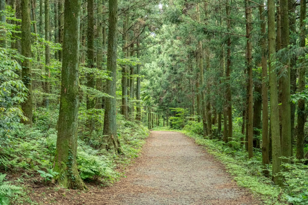
On a Saturday in May the overflow parking at Saryeoni was full by half past nine. Twenty minutes down the road at Gyorae-ri there were four cars in the lot, and I walked the first kilometer of the Samdasu Forest Trail without meeting anyone. Both are free. Both are mid-slope cedar forest at a similar altitude. One is on every Jeju itinerary written in English and the other is not, and the difference is mostly a matter of which one got famous.
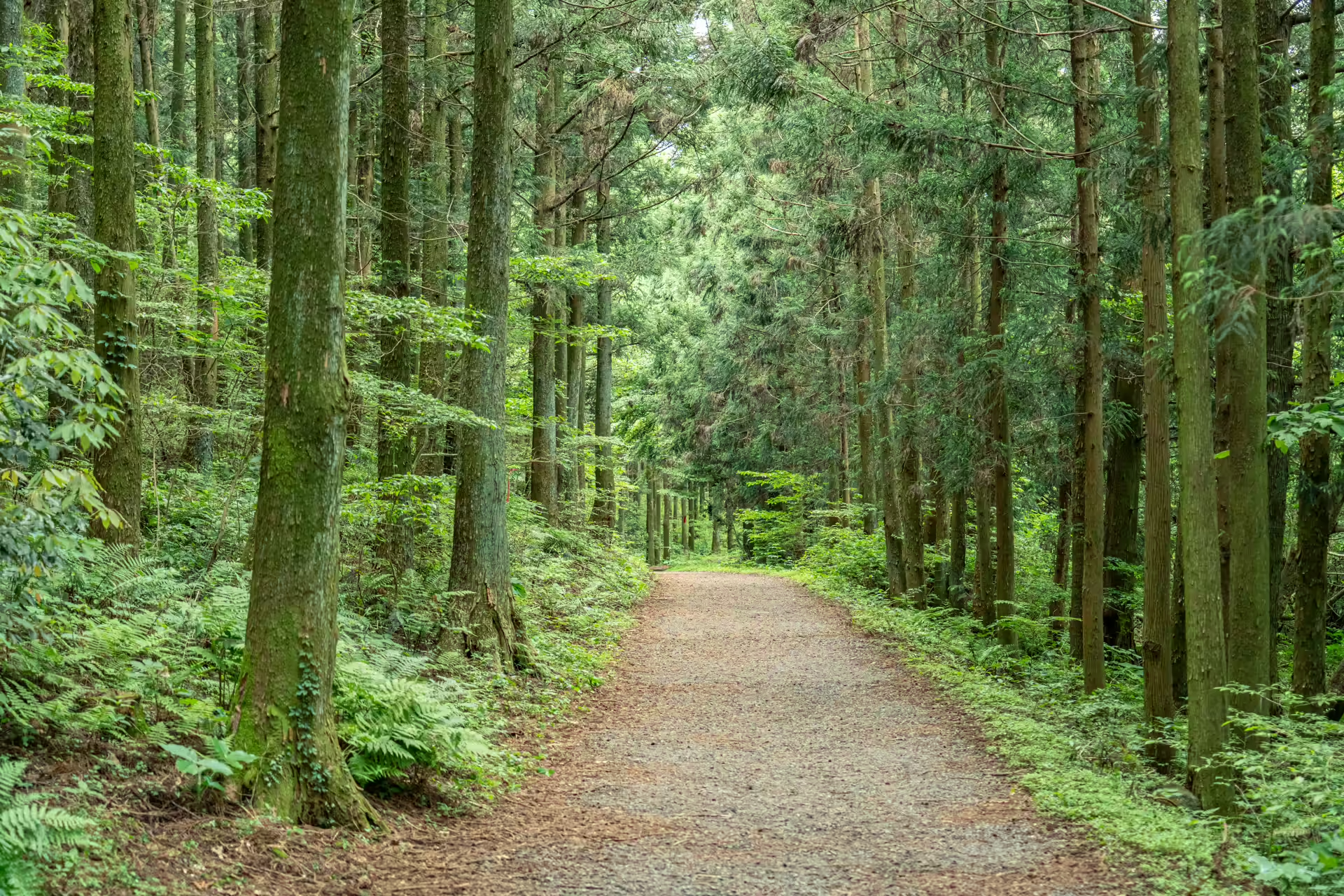
The Samdasu Forest Trail is named after the water. Jeju Samdasoo is Korea’s best-selling bottled water, drawn from an aquifer under this part of the island, and the provincial development corporation that bottles it built this trail in 2010 together with the village of Gyorae-ri, out of forest roads the villagers had been using anyway. It was named one of Korea’s Beautiful Forests the same year, and in January 2018 the whole Gyorae Samdasu area became the thirteenth designated geosite of the Jeju UNESCO Global Geopark. That is why the trail markers carry a yellow geotrail badge.
Getting to the Samdasu Forest Trail
Gyorae-ri sits in the eastern mid-slopes of Jeju, south of the Gyorae crossroads, in the same broad band of country as Sangumburi crater and the Jeju Stone Park. From Seoul that means a flight to Jeju — about seventy minutes from Gimpo — and then roughly forty minutes inland by car.
There are three parking areas: the Gyorae community welfare center, a lot at 교래리 632-2, and one signed for the trail itself. All free, all rarely full.
At the trailhead there is a Samdasoo exhibition hall, and it is worth ten minutes before you start walking rather than after. The point it makes is the one the trail then makes physically: the water in the bottle is rain that fell on this mid-slope band, went straight down through fractured basalt instead of running off, and came back up at a spring. Walk the trail first and the hall is a gift shop. Walk it second and the trail is a diagram.
Public transport is the weak point, and I would rather say so than invent a route. Bus 231 and 232 run along this corridor and serve a stop at the Samdasoo exhibition hall, and the express 131 and 132 pass through Gyorae on their way from the airport, but the timetable was reshuffled in August 2024 and the walking distance from the nearest stop is not consistently documented. If you are carless, check bus.jeju.go.kr on the morning and give yourself margin. This is a trail that rewards a rental car, and one of the reasons it stays quiet is precisely that.
Three Courses, and Honest Numbers About the Times
The trail divides into three, and the distances are agreed everywhere. The times are not, so here is the range rather than a false precision.
Course 1, Kkot-gil — the flower path — is 1.2 kilometers and takes about 30 minutes. Every source agrees. It is the easy grade and the one to take if you have an hour and a small child.
Course 2, Teuri-gil, is 5.2 kilometers. Visit Jeju gives three hours; Korean press coverage gives an hour and a half. At that distance on this surface, an hour and a half to two hours is realistic for most walkers.
Course 3, Sanongbachi-gil, is 8.2 kilometers. Published times run from two and a half hours to five, depending which agency you ask. Budget three and a half and start before noon.
The two long courses are named for the people who used this ground before it was a trail. A teuri is a herder, in Jeju dialect — the men who drove cattle and horses across these mid-slopes. A sanongbachi is a hunter. Gyorae-ri was a stock village on the old royal horse pasture, and it is one of the few places I can think of where the trail names tell you the local economic history without a single interpretive panel.
One naming correction worth carrying: the tourism board’s own page renders Teuri-gil as “Teori Road”, which is a transliteration slip. Korean press and reference works all use teuri, and so does the meaning.
What You Actually Walk Past
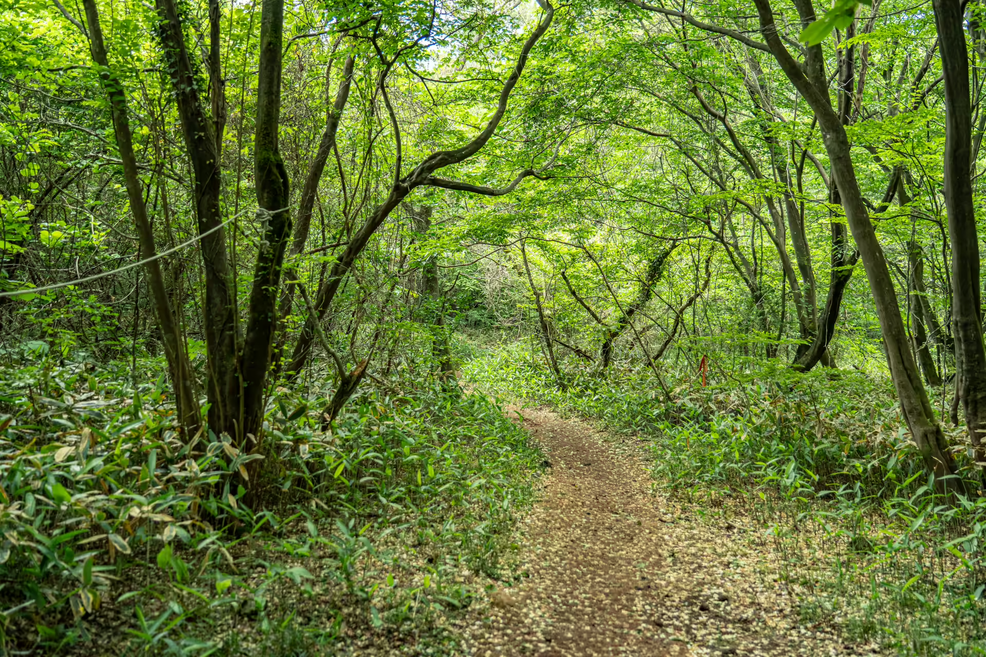
The route strings together a specific list of things, and knowing them in advance is the difference between a pleasant walk and a legible one. A grove of Japanese star anise. Self-seeded Korean mountain magnolia. An exposed cross-section of aa lava — the blocky, clinkered kind, cut open so you can see the rubble structure. A corridor of Jeju dwarf bamboo. Jatseong, the low stone walls that marked the boundaries of Joseon-era state horse ranches. A spring called Noritmul. A colony of false hellebore — which the tourism board’s English page mistranslates as a bird colony, so do not go looking for cranes.
The jatseong deserve more than a passing glance, because they are the reason the trail is laid out the way it is. Joseon ran state horse pastures across Jeju’s mid-slopes, and the walls were built to keep the animals off the farmland below and out of the high forest above — a band of stone drawn around an entire island at a specific altitude. Whole villages were assigned to build and maintain them. Today the walls run through fifty-year-old cedar plantation with nothing on either side to separate, which makes them look decorative. They are not. They are the boundary of a working landscape that the forest was planted on top of, and the trail follows them because the herders’ routes followed them first.
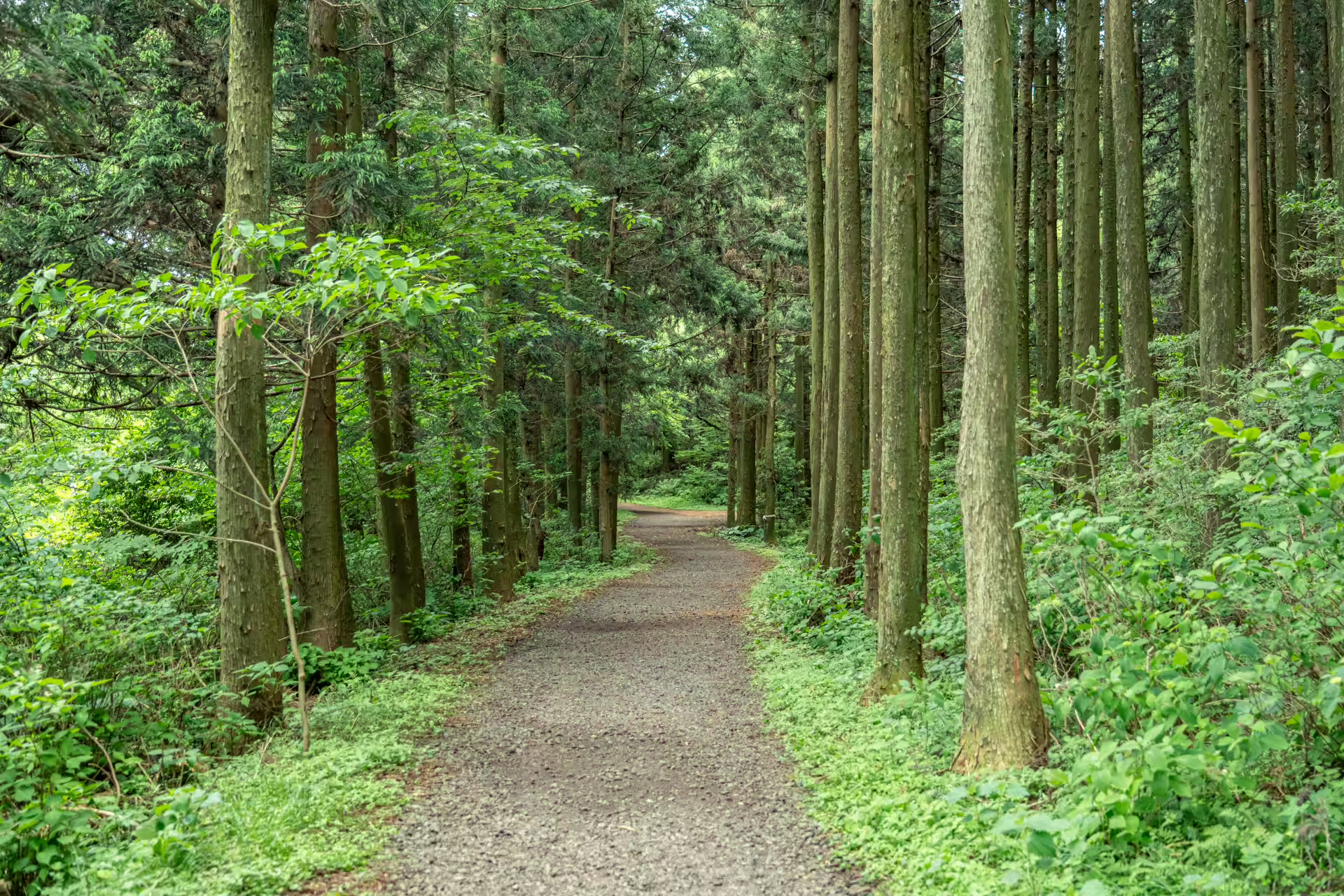
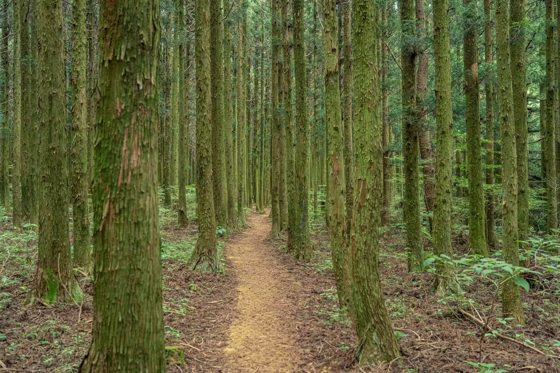
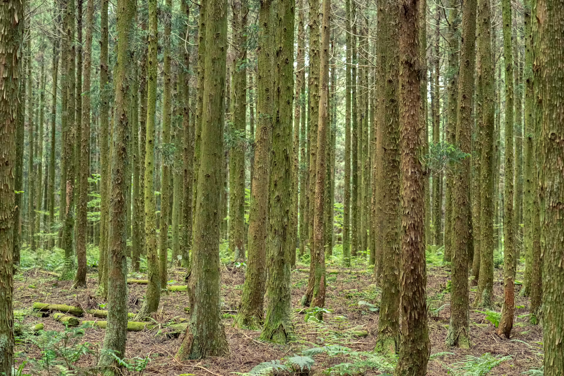
And then the cedars, which are the trail’s dominant experience. They went in during the 1970s, part of the national reforestation drive that put roughly nine thousand hectares of Japanese cedar across Jeju, and fifty-odd years on some of them run to about thirty meters. Before they were planted this was open pasture and hunting ground. The forest you are walking through is younger than most of the people walking through it.
The Surface, and Why There Is No Boardwalk
This is the practical contrast with its famous neighbor. Saryeoni has an accessible timber boardwalk and lends out wheelchairs. Samdasu has none of that. The surface is natural earth, orange-brown with scoria through it, uneven where the trail crosses lava and soft where it does not. Even Course 1 is earth rather than deck.
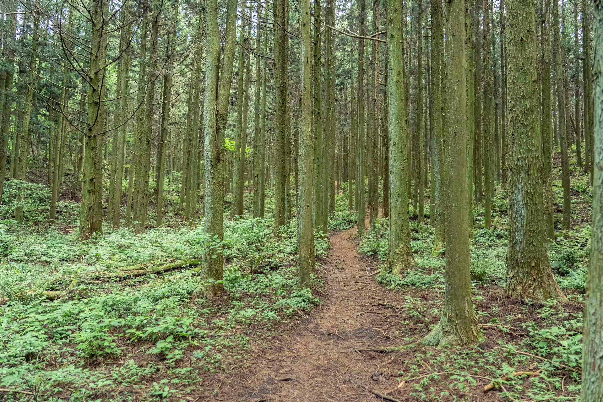
I could not find an official accessibility statement for the trail, and I am not going to guess at one. What I can say from walking it is that a rigid-frame wheelchair would struggle and an off-road buggy would manage the first course on a dry day. If accessibility is the deciding factor, Saryeoni is the answer and this is not.
Wear shoes with a grip. Bring your own water — there is a visitor hall at the trailhead but nothing along the route.
When to Come, and the Village Festival
Reported hours are 10 a.m. to 5 p.m. from March to October and 10 a.m. to 4 p.m. from November to February, open every day of the year. I flag those as reported rather than confirmed: they do not appear on the tourism board’s official listing, only in secondary coverage, and the number to call is 064-782-1746.
Late September is the interesting window. Gyorae-ri runs its own village festival on this trail — locally branded the 3355 Trail — with guided geotrail walks in groups of twenty, a walk down into the Cheonmicheon streambed each afternoon, and forest programs for children. The 2025 edition ran 26 to 28 September. Dates for 2026 had not been announced when I checked in early August.
While you are in the village: Gyorae-ri is a designated specialty district for Korean native chicken, and the row of restaurants near the crossroads does it as shabu-shabu and as a thick knife-cut noodle soup. After three and a half hours on Sanongbachi-gil that is not a suggestion so much as an inevitability, and it is the sort of local monopoly that only exists because a village decided on it.
Worth the Drive, and When It Isn’t
Come if you want a Jeju forest without a crowd, and you have a car. Come if the geology is the draw — the aa lava section and the gotjawal edge here are more legible than anything on the cedar-only stretches at Saryeoni, and the geopark designation is not marketing. Come if you want distance: 8.2 kilometers of trail with nothing to buy on it is rare on this island.
Do not come if you need a paved surface, if you are relying on buses and cannot absorb a long wait, or if you are choosing between this and one other forest on a short trip. For a single visit, the provincial gotjawal park covers more ground in an hour and the guided walk at Hwansangsup puts more information into every hundred meters. Samdasu is the one you come back for.
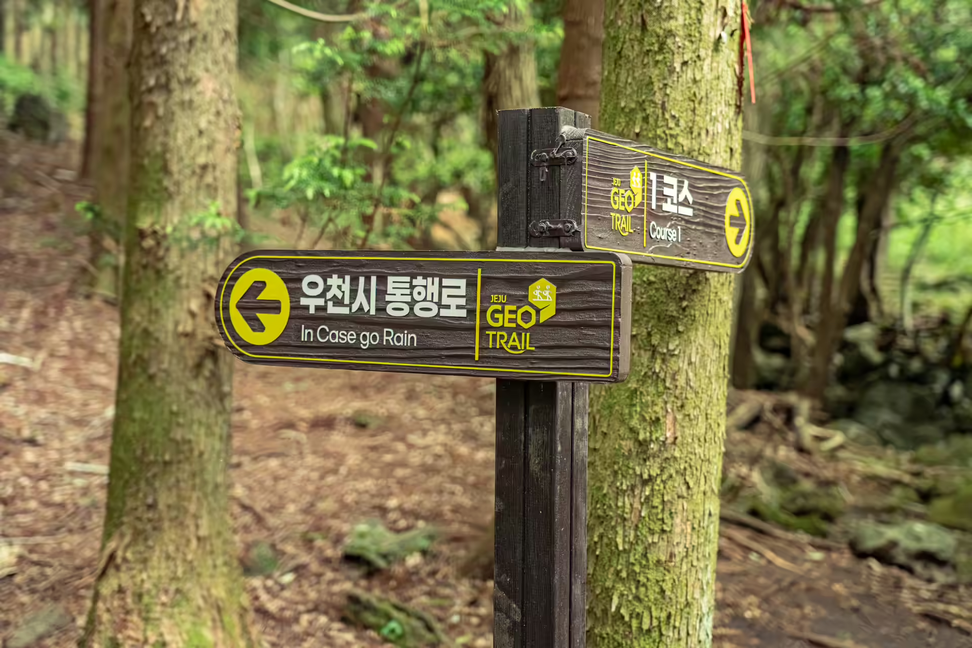
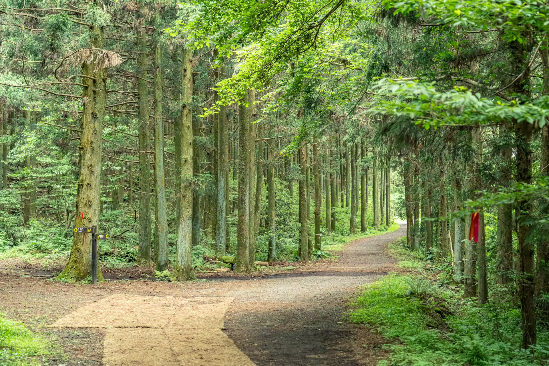
One signpost on Course 1 carries an arrow pointing left and the words In Case go Rain under the Korean. The English is wrong and the information is not. Jeju’s rivers are dry riverbeds for most of the year — the Cheonmicheon, which runs through this village and out to the south coast, is the island’s longest at 25.7 kilometers and is usually a floor of bare rock. After heavy rain it is a torrent, and the trail sends you elsewhere. The village name itself, Gyorae, is said to come from the flat lava slab that people used to cross that riverbed when the water came. Everything here is organized around a river that is almost never there.
The Travel Manual: Samdasu Forest Trail
| Address | 606-1 Gyorae-ri, Jocheon-eup, Jeju-si, Jeju (trailhead) 제주특별자치도 제주시 조천읍 교래리 606-1 |
| Phone | 064-782-1746 |
| Admission | Free. Parking free at three lots — the community welfare center, 교래리 632-2, and the signed trail lot. |
| Hours | Reported as 10:00–17:00 (March–October) and 10:00–16:00 (November–February), open daily. Not stated on the official tourism listing — call to confirm if you are arriving late. |
| Course 1 · Kkot-gil | 1.2 km, about 30 minutes, easy |
| Course 2 · Teuri-gil | 5.2 km, 1.5–3 hours depending on the source; allow 2 |
| Course 3 · Sanongbachi-gil | 8.2 km, published times run 2.5–5 hours; allow 3.5 |
| Surface | Natural earth and scoria throughout. No boardwalk, no accessible section. Grippy shoes advised; poor after heavy rain, when a marked detour applies. |
| Status | Part of the Jeju UNESCO Global Geopark since January 2018 — the Gyorae Samdasu village is its 13th geosite. Named a Korean Beautiful Forest in 2010. |
| On the route | Aa lava cross-section, jatseong horse-ranch walls, Noritmul spring, Japanese star anise grove, dwarf bamboo corridor, Gyorae gotjawal, 1970s cedar plantation |
| Facilities | Samdasoo exhibition hall at the trailhead. No water, food or restrooms along the route. |
| Getting there | About 40 minutes from Jeju International Airport by car. Buses 231 and 232 serve the corridor and the express 131 and 132 pass through Gyorae, but stop-to-trailhead walking distances are poorly documented — check bus.jeju.go.kr on the day. |
| Nearby | Sangumburi crater, Jeju Stone Park, Gyorae Natural Recreation Forest, and the native-chicken restaurants at the Gyorae crossroads |
The geosite designation is from the Jeju Global Geopark’s Gyorae Samdasu page; course distances are as posted at the trailhead and on Visit Jeju. Walking times vary widely between official and press sources and are given here as ranges for that reason.
Navigation Tip: Use Naver Map or KakaoMap with the Korean address above — Google Maps will not route you here. Papago handles the trail signage, which is Korean-first and occasionally English-second.
Staying on this side of the island? The tea room at Hoesudaok is the right pace after a long walk, and the quieter canola fields are a spring alternative on the same mid-slope band.