
Two Entrances, One Name, and a Long Walk to the Wrong One
Jeju’s bus network has a stop called Saryeoni Forest Path and another called Namjo-ro Saryeoni Forest Path. They are roughly twenty-five minutes apart by bus, they lead into opposite ends of the same forest, and only one of them has a parking lot, restrooms, a visitor desk and a boardwalk you can push a wheelchair along. Get that wrong and your afternoon changes shape considerably — from the Bijarim-ro side you walk something like two and a half kilometers of old roadway before the forest properly closes over you, which is fine if you knew that and an unpleasant surprise if you didn’t.
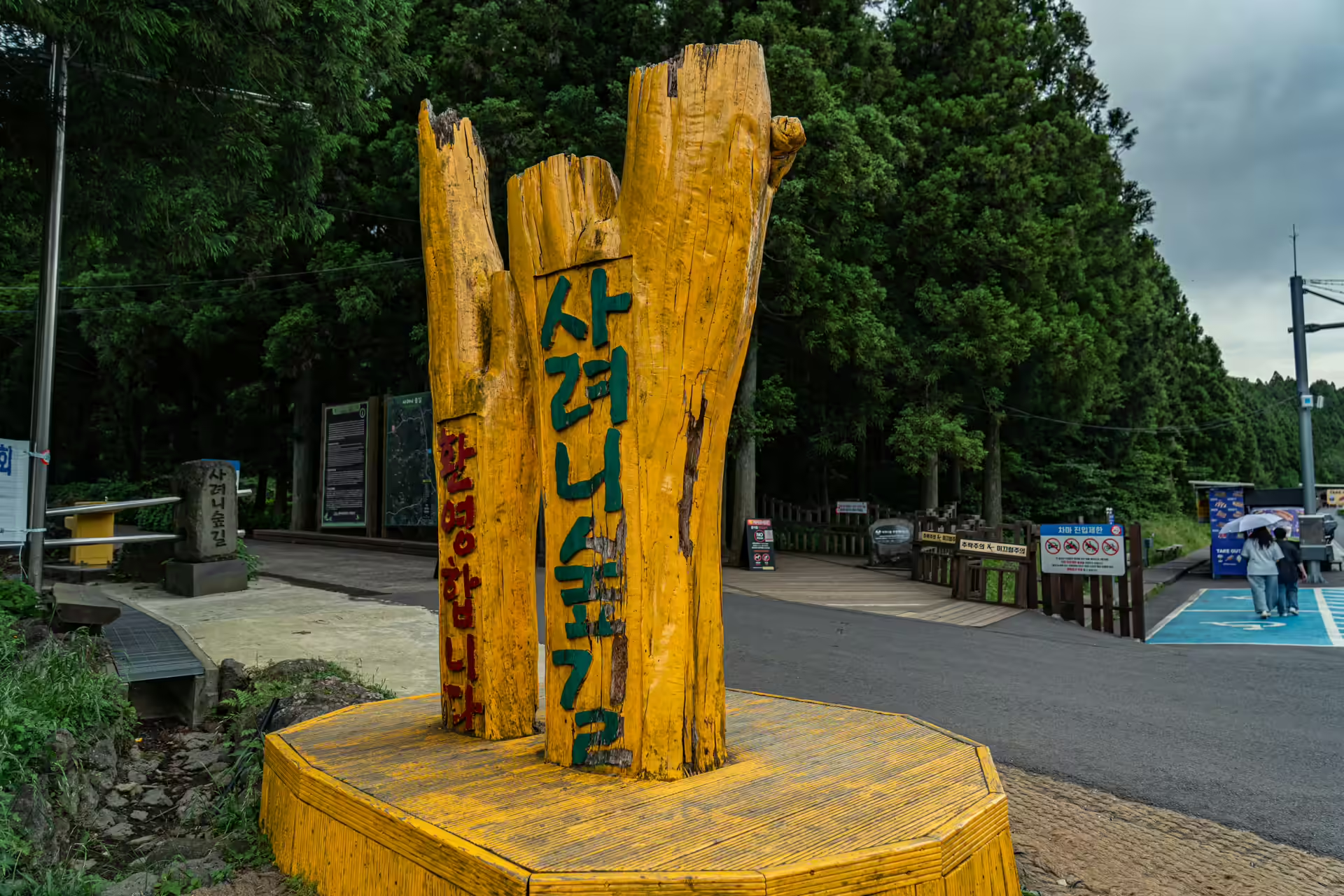
So: the short version. Unless you have a specific reason to do otherwise, start at the Bulgeun Oreum entrance on Namjo-ro. Everything below assumes that.
Getting to the Saryeoni Forest Path
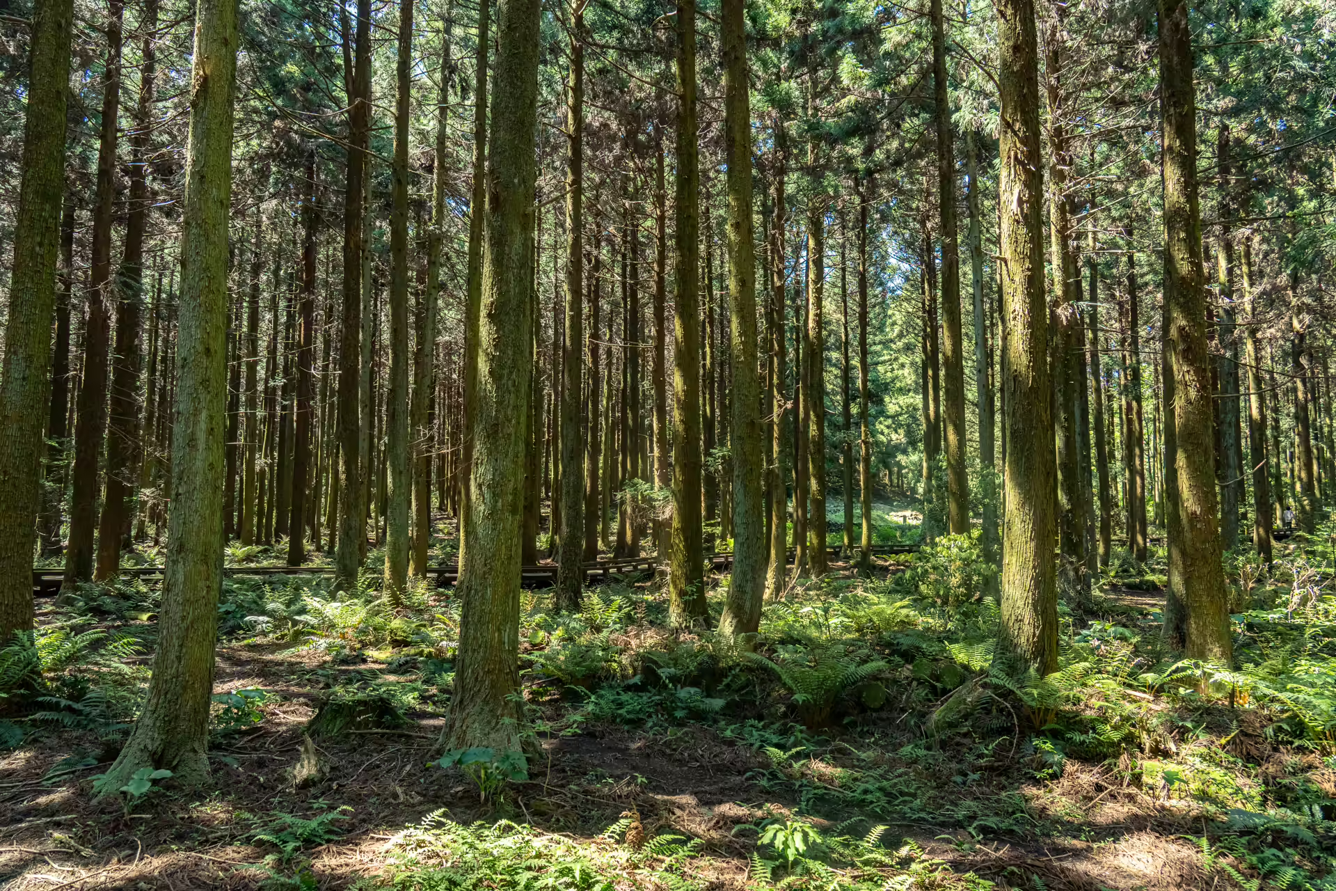
The forest sits in Jeju’s eastern mid-slopes at an average elevation of about 550 meters, and that altitude explains almost everything else about the place. It is why the forest is cool in August, why the cloud sits in it, and why the light through the cedars stays flat and silver even at midday.
From Jeju International Airport the express 131 and 132 both run out through Bonggae and Gyorae and reach the Namjo-ro stop without a transfer, which makes this one of the easier east-side sites to do without a car. Route 231 also serves it, and 232 stops at both entrances, which is the one thing about this bus network that makes life easier. For Bijarim-ro on its own you want 212 or 222-1, and you will need a change. The island reorganized these routes in August 2024 and the 222-1 now runs barely at all, so check the day’s timetable rather than an old blog.
By car, put “Saryeoni Forest Path Bulgeun Oreum entrance” into Naver Map. Parking is free. The lot is chronically busy on weekends and, more to the point, the pedestrian route through it is not separated from moving vehicles — the city’s own accessibility survey flags that. Arrive early, and watch children in the parking lot more carefully than you will need to on the trail.
Three Rules That Will Ruin Your Day If You Miss Them
First: the entry cutoff is not the closing time. The forest closes at 5 p.m., but last entry is 2 p.m. from April to September and noon from October to March. Turn up at half past two in November and you are not going in.
Second: it closes when it rains, and for two days afterwards. Korea Tourism Organization’s own English listing states it plainly, and it trips people up constantly — a clear Wednesday after a wet Monday is not necessarily a walking day. Jeju rains hard and often; build a second option into any Saryeoni plan.
Third: no food. Plastic water bottles are permitted and that is the extent of it, with a bin by the visitor center for the bottle on the way out. There is nowhere to buy anything inside.
Admission is free and there is no booking, which is worth saying plainly because so much else on Jeju now requires one.
The Boardwalk, and Who It Is Really For
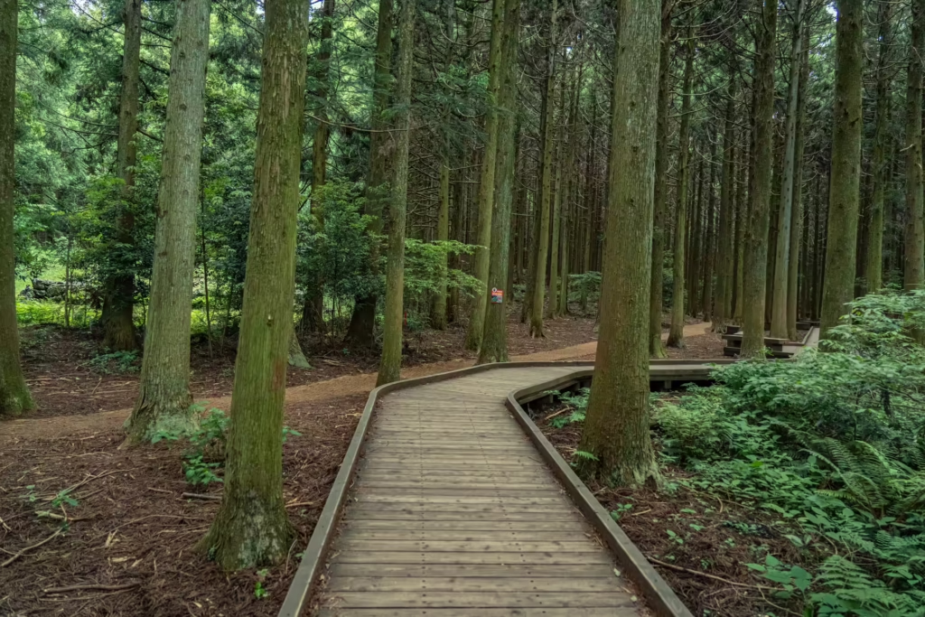
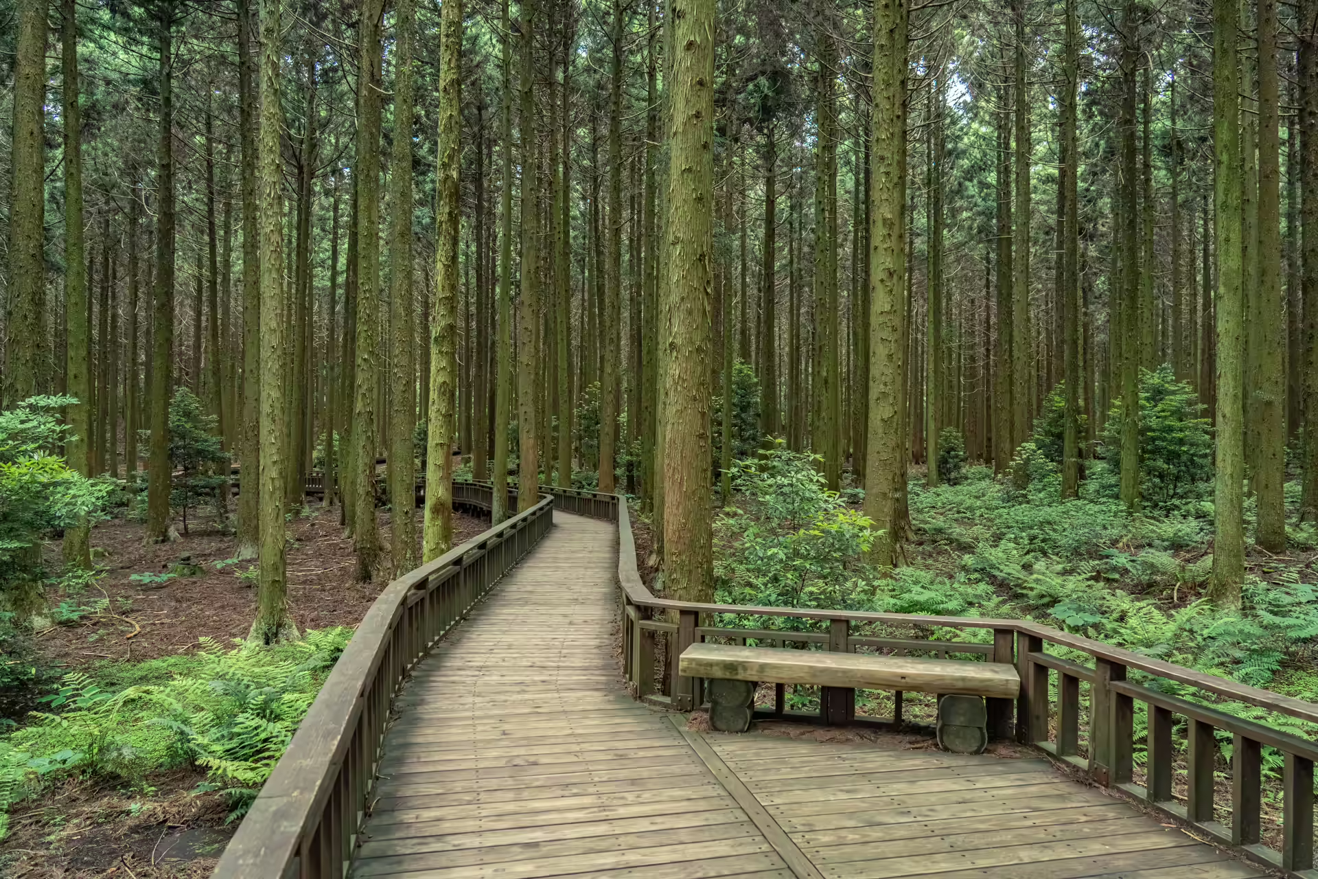
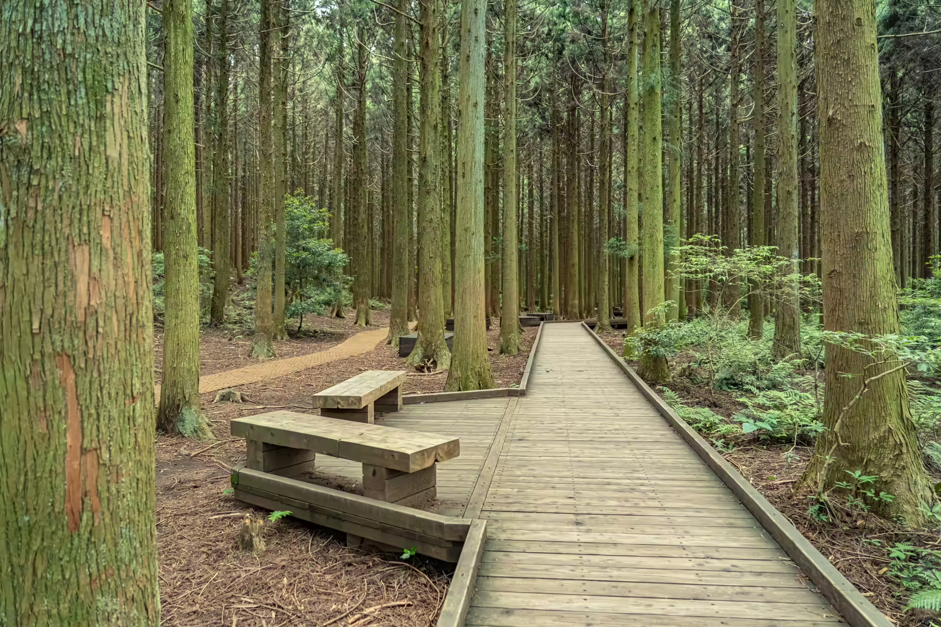
The stretch that runs from the Bulgeun Oreum entrance is a timber boardwalk laid over the forest floor, built with lottery-fund money in 2020 and extended in 2022 for another 850 million won. Sources disagree about the total — the city’s accessibility survey puts it at 1.3 kilometers and 1.7 meters wide; other accounts give 1.2 kilometers for the original build and describe roughly 2.4 kilometers once the extension is counted. Treat it as a there-and-back of a bit over two kilometers and you will not be far off.
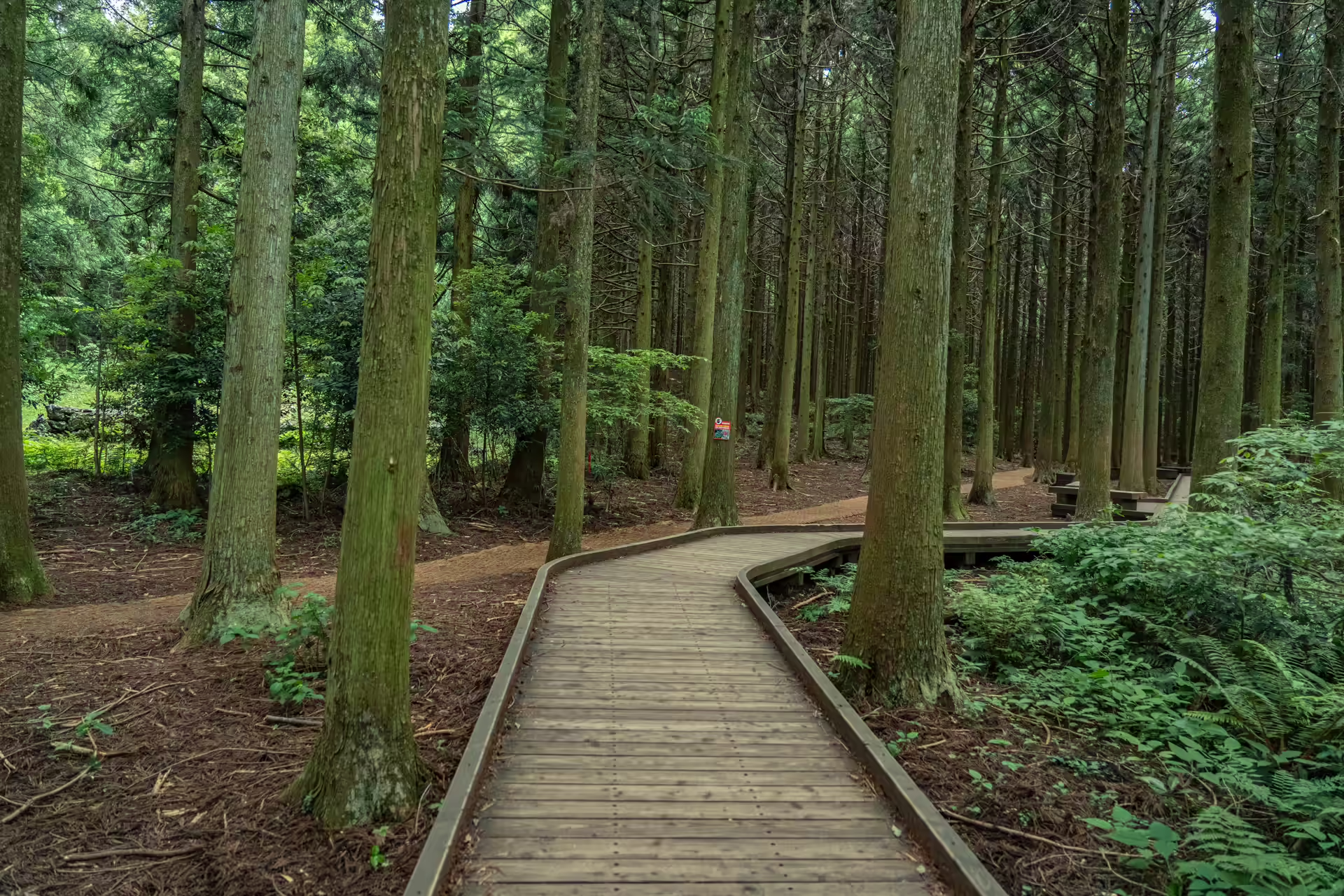
The 2020 section won a national universal design award, and walking it you can see why. The gradients are gentle, the curves are wide enough to turn a chair on, and the surface is continuous. The visitor center lends two wheelchairs and two strollers free of charge, there are braille panels, the accessible restroom is beside the desk, and the small open-air stage partway along has a designated wheelchair viewing area.
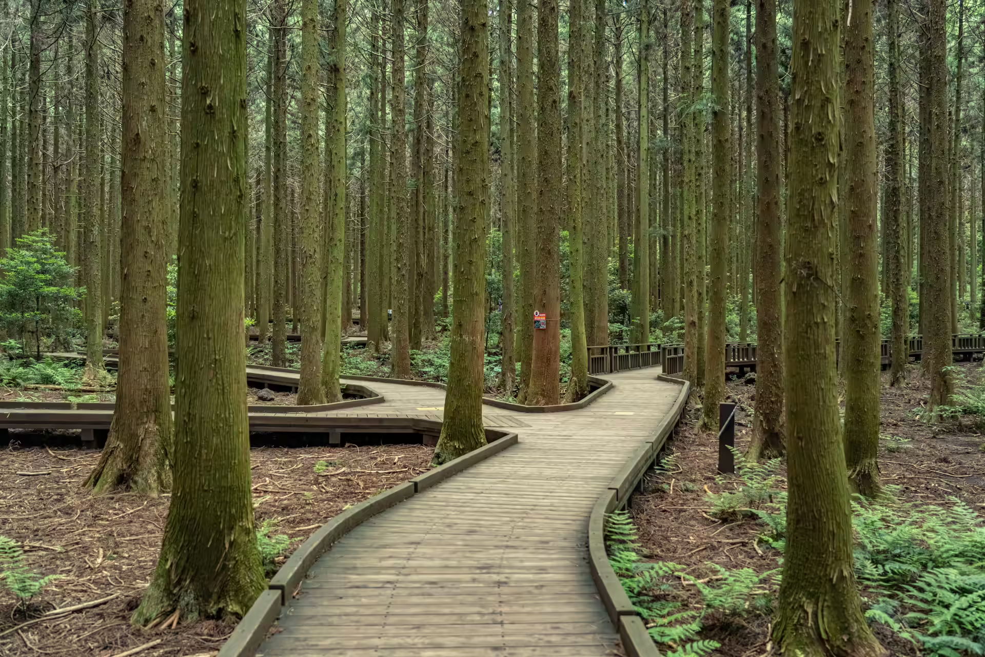
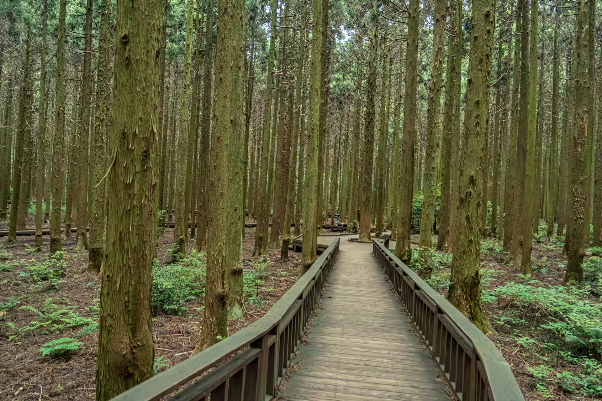
The rest stops carry Jeju-dialect names that are worth a glance on the map: Mondak, meaning everyone together; Haneulbogi, the sky-looking rest; Hayeong Swimeong and Ayeong Swimeong, roughly “resting a lot” and “resting a while”; and Hokkeullak, the little stage that most people use as a turnaround.
Who it is really for is broader than the accessibility framing suggests. It is the right choice with a stroller, with a grandparent, with bad knees, after rain when the earth sections would be closed anyway, and for anyone who wants an hour of cedar forest without committing to a ten-kilometer decision.
Beyond the Deck: Scoria, Cedars and the Broadleaf Middle
Past the boardwalk the surface changes to the thing Saryeoni is actually famous for — red volcanic scoria, crushed and packed into a path that gives slightly underfoot and holds its color in the rain. Stream crossings and steeper sections are cemented, so it is not scoria the whole way.
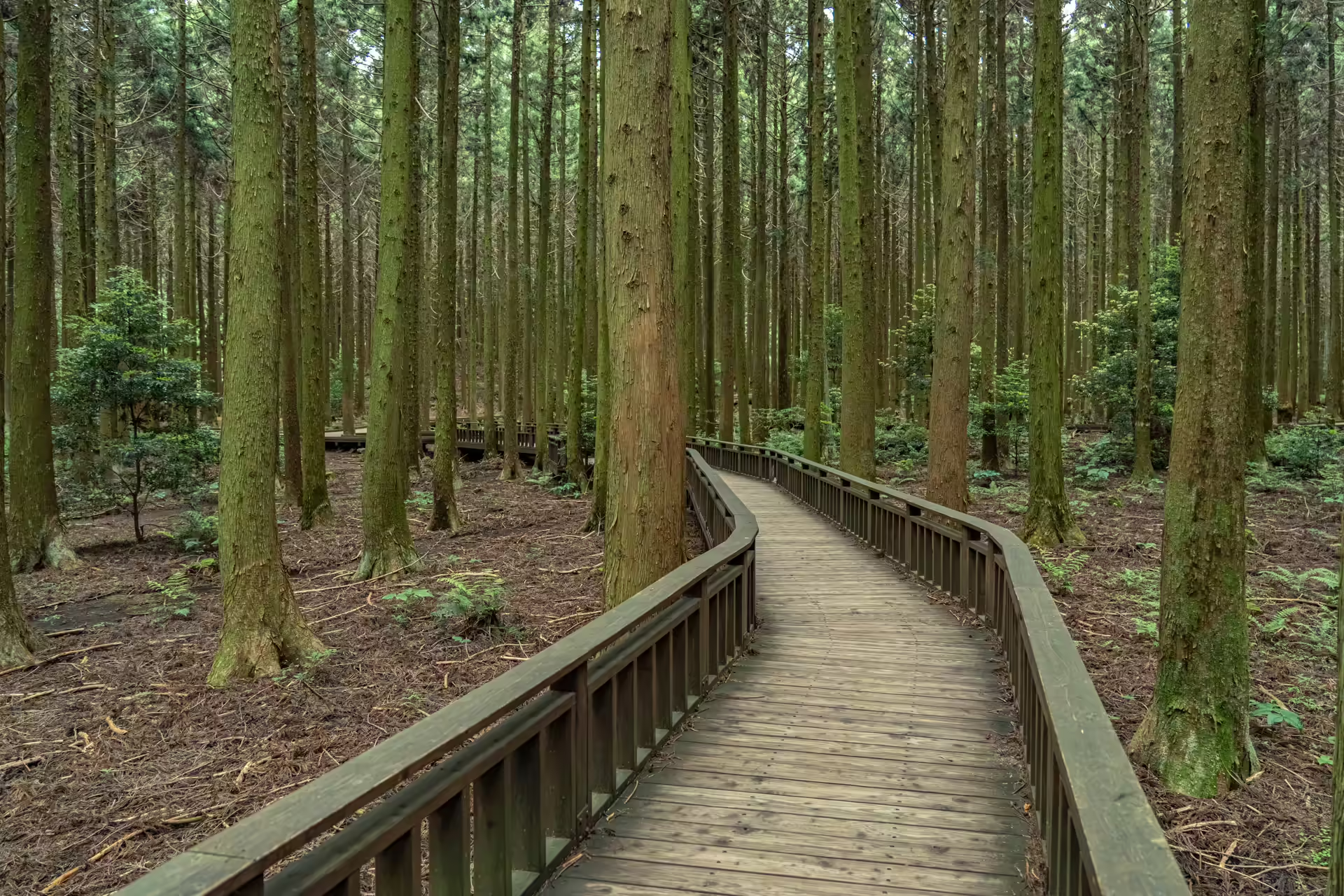
The full route between the two trailheads is generally given as about ten kilometers, with some sources describing a wider fifteen-kilometer network. The vegetation changes as you go, and the change is the most interesting thing about walking the whole length. From Bijarim-ro to the Mulchat Oreum turning it is planted Japanese cedar. From there to Walden Junction — yes, named after Thoreau — it is natural broadleaf forest: konara oak, hornbeam, Japanese snowbell, kousa dogwood. Then cedar again down to Bulgeun Oreum.
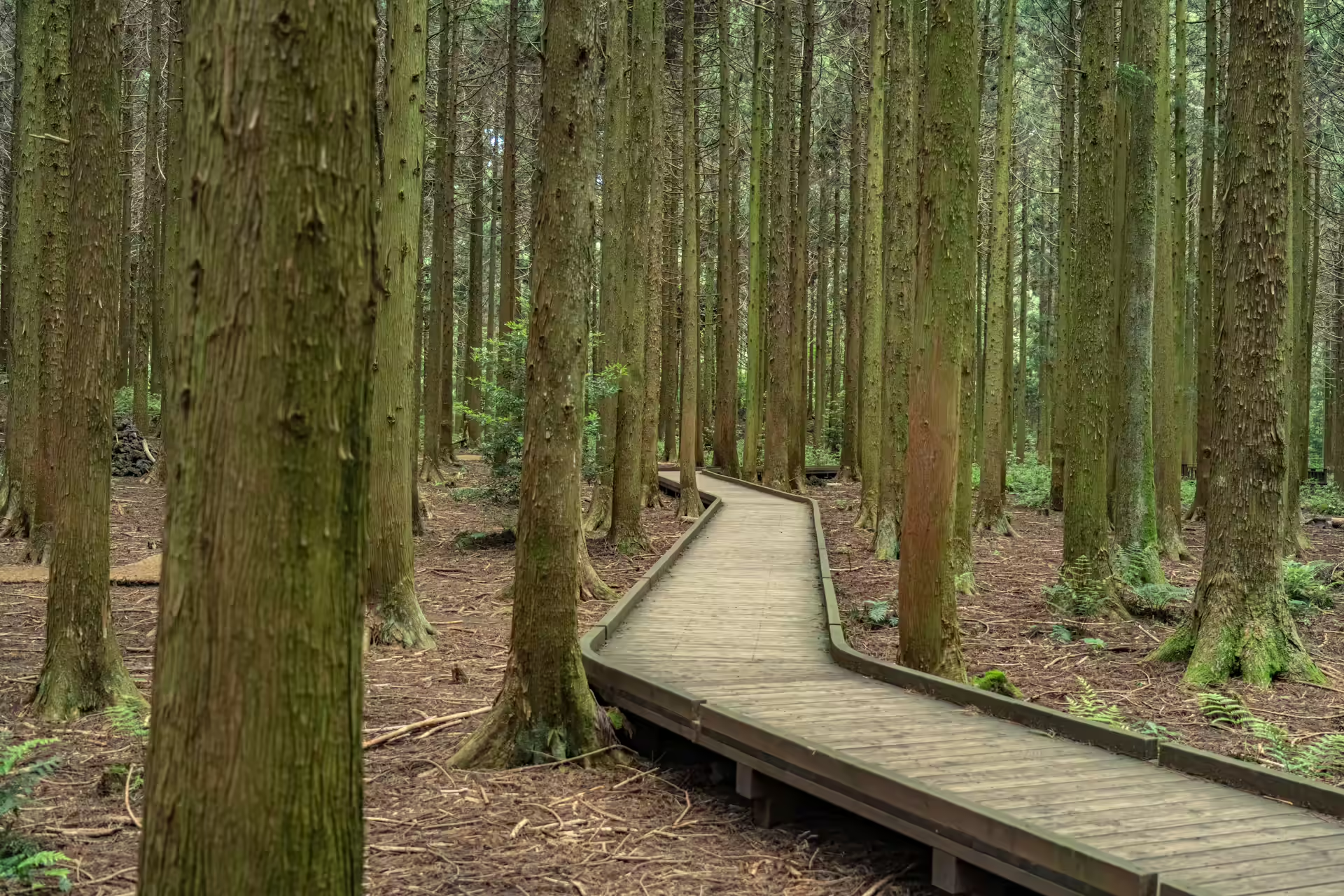
Those cedars are not native. They arrived from Japan in the 1920s and went in across roughly 9,000 hectares of Jeju during the reforestation drives of the 1970s, and they later became the windbreak of choice around tangerine orchards. Jeju’s relationship with them has since soured — they block views, they shade the fruit, their pollen is blamed for allergies. The clearest expression of that argument played out on the road at the far trailhead: the widening of Bijarim-ro felled some nine hundred cedars in 2018, ran into protest and then into endangered species surveys, stopped and restarted for years, and was due for completion in December 2025 — seven and a half years after the first trees came down.
The Oreum You Cannot Climb, and the Five Days You Can
Mulchat Oreum sits partway along the route and has been closed since December 2008 under a rest-year scheme. Its crater holds water, which on a volcanic island that drains straight down is rare enough to be worth closing a trail for, and roughly 187 species of plant and 44 of animal have been recorded around it.
It opens for one event a year. The Saryeoni Forest eco-healing program ran for its nineteenth edition from 19 to 23 June 2026, and during it Mulchat Oreum admitted 150 people a day in six slots of twenty-five between 10 a.m. and 12:30 p.m., booked by phone from about ten days before. The dates move — the 2025 edition ran from 30 May — so if this is the reason you are coming, check in spring rather than assuming June.
Saryeoni Oreum itself is a separate matter. It sits inside a national forest research station — now signed as Hannam Saryeoni Oreum Forest — and is entered only from the Hannam side, by advance reservation through the forest service booking platform, with ID checked for every member of the party. The season runs roughly 16 May to 31 October, it is closed Mondays and Tuesdays, it caps entry at 300 people a day between 9 a.m. and 2 p.m., and bookings open three days ahead. Outside the season it is closed for fire risk. The day-of-week closure is the one that sends people home, so check it before you drive out to Namwon.
What “Saryeoni” Means, and What the Reserve Status Does Not Mean
The name is old and contested. The most quoted reading takes it from Saran-i or Soran-i, where the sal or sol element appears in the names of sacred mountains — so, roughly, the sacred place. A second reading takes it from the verb for winding thread into a coil. A third points at a Chinese-character spelling meaning four linked peaks. Nobody has settled it, and the tourism board’s own page offers two of the three.
One piece of received wisdom to put down: this is not a core zone of the UNESCO Biosphere Reserve. Jeju was designated in 2002 and expanded across the whole island in 2019, and the core areas are Hallasan National Park, the Yeongcheon–Hyodoncheon stream reserve and the protected islets off the south coast. Saryeoni is inside the reserve; it is not the middle of it. The forest does not need the inflation.
What it does have is animals you will not see and should still know about — badger, Jeju weasel, the endangered fairy pitta, northern goshawk, and the Ussuri pit viper, which is the reason to stay on the path in summer rather than a reason to stay home.
Boardwalk or Crossing: Choosing Your Version of Saryeoni
Take the boardwalk if you want ninety minutes of cedar forest with no navigation and no surprises, or if anyone in your group would be excluded from a natural-surface trail. Take the full crossing if you have half a day, two cars or a bus plan, and you want to feel the vegetation change from plantation to natural forest and back. Come early in the day, in any case, and come with a backup plan because of the rain rule.
Nothing here opens out. If you are after a view, this is the wrong forest — it is a floor and a canopy and not much else. And do not gamble a wet week on it. And if you only have one forest morning on Jeju and you want geology rather than trees, the gotjawal at the provincial park or the guided kilometer at Hwansangsup will teach you more about what the island is made of. When the coastal heat makes the beach unusable in August, I weigh this trail against three other shaded Jeju forest walks, and Saryeoni’s mid-slope altitude is usually what decides it.
The planning takeaway is about weather, and it is the one thing worth doing differently here. Check the forecast three days out rather than one: if it rained on Monday, you are not walking on Wednesday, and you will find that out at the gate rather than on a website. Put Saryeoni early in your Jeju week and leave the back half of the trip loose, so a wet Tuesday moves the forest rather than deleting it. Everything else about this place is easy; that is the part people get wrong.
The Travel Manual: Saryeoni Forest Path
| Recommended entrance | Bulgeun Oreum / Namjo-ro entrance — Gasi-ri, Pyoseon-myeon, Seogwipo-si 서귀포시 표선면 가시리 (붉은오름 입구) |
| Other entrance | Bijarim-ro entrance — Jocheon-eup, Jeju-si. No parking; roadside only. 제주시 조천읍 교래리 산 137-1 |
| Phone | 064-900-8800 |
| Admission | Free. No reservation. Parking free. |
| Hours | 09:00–17:00. Last entry 14:00 (April–September) / 12:00 (October–March); everyone out by 17:00. |
| Closures | Closed on rainy days and for two days afterwards; restricted in snow. Open year-round otherwise. |
| Boardwalk | Accessible timber deck from the Bulgeun Oreum entrance; roughly 1.2–1.3 km out, a little over 2 km round trip. Two wheelchairs and two strollers lent free at the visitor center. Braille panels, accessible restroom, accessible parking bays. |
| Full route | About 10 km between the two trailheads; allow 3–4 hours one way and plan your return transport before you start. |
| Not allowed | Food of any kind. Plastic water bottles only. |
| Mulchat Oreum | Closed since 2008. Opens only during the annual eco-healing event (five days, late May or June), 150 places a day, booked by phone. |
| Saryeoni Oreum | Separate access from the Hannam side, reservation only via the forest service platform, roughly 16 May–31 October, closed Mondays and Tuesdays, 300 people a day, entry 09:00–14:00, ID required. |
| Getting there | Express 131 or 132 from Jeju International Airport direct to the Namjo-ro Saryeoni Forest Path stop; 231 also serves it, and 232 stops at both entrances. For Bijarim-ro alone, 212 or 222-1 with a transfer. |
| Time needed | 1–1.5 hours for the boardwalk; half a day for the crossing. |
Hours, closures and the entry cutoff are as published by Korea Tourism Organization and Visit Jeju at the time of reporting. The KTO English listing is the clearest single source for the rain rule.
Navigation Tip: Search Naver Map for the Korean text above rather than the English name — the two entrances resolve to different pins and the English search will not distinguish them reliably. Keep Papago for the trail signage.
Heading down the east coast afterwards? The clifftop bakery at Seogwipian, near Seopjikoji, is about forty minutes on and is the obvious lunch after a morning under cedars.