
A Thousand Won, Five Trails and a Rule About Your Shoes
The first thing Jeju Gotjawal Provincial Park tells you is what to put on your feet. Before the ticket price, before the trail map, a banner at the entrance says that hiking shoes or sneakers are required, and that anyone without them will be allowed on Course 1 and nowhere else. I have been waved through plenty of Korean parks in whatever I happened to be wearing. This is not one of them, and after twenty minutes on the trail the reason is obvious: under the leaf litter is broken lava, and it does not care about your vacation.
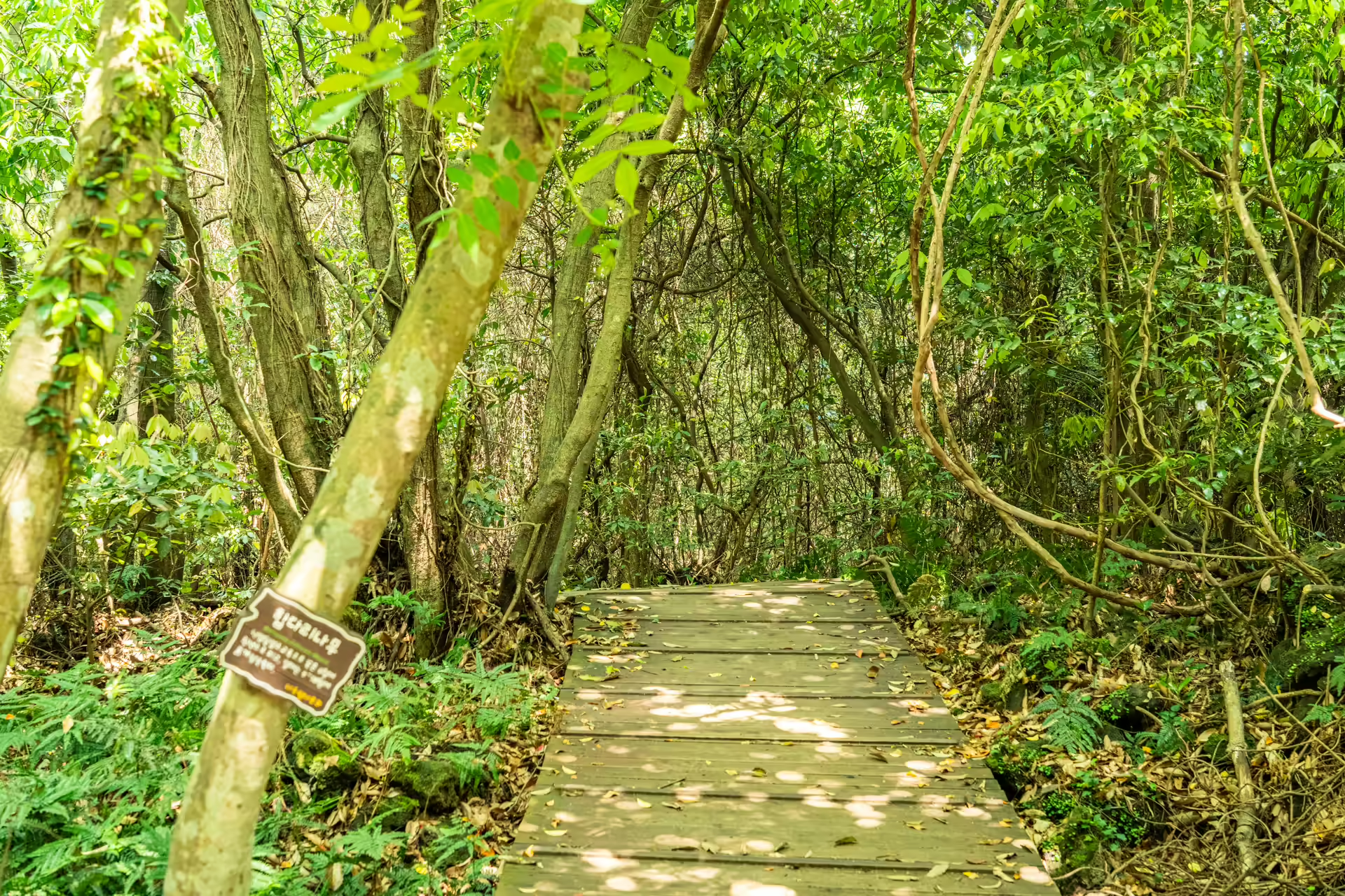
The ticket costs 1,000 won for adults — about seventy US cents at the time of reporting. For that you get 1.55 square kilometers of protected forest, five named trails, a tower that lifts you fifteen meters, just clear of the canopy, and a guided walk twice a day at no extra charge. I have paid twenty times as much on this island for a themed garden with a coffee stand.
One piece of timing matters. The park closed on 15 June 2026 for construction on its barrier-free trail and reopened on 1 August. If you looked it up earlier this summer and found it shut, that has changed.
Getting to Jeju Gotjawal Provincial Park
Jeju is a flight, not a drive. From Seoul it is roughly seventy minutes in the air from Gimpo, and Gimpo–Jeju remains one of the busiest air routes on earth, which means fares swing wildly and the 6 a.m. departures are genuinely cheap. The park sits in the island’s southwest, in Daejeong-eup, on the same road as the international school campus at Jeju English Education City.
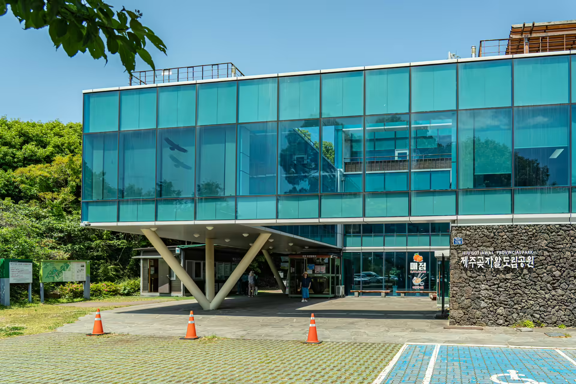
The bus is unusually painless here. Express route 151 runs from Jeju International Airport directly to the stop signed for the Gotjawal Provincial Park and the neighboring Samjeong G-edu school complex, and the park is a five-minute walk from there. No transfer, no puzzle. Coming from Seogwipo you take 181 or 282 to Donggwang transfer stop and pick up the 151 there. Check departure times on the day at the Jeju bus portal — the island reshuffles its timetables more often than visitors expect.
A rental car is still the default on Jeju and I usually take one, but this is one of the few major sites where I would not bother. Parking is free and there is space, yet the 151 drops you at the door and costs a few thousand won.
What “Gotjawal” Actually Means
Two Jeju words stuck together. Got is forest. Jawal is the tangle — scrub, thorn, vine and loose rock all knotted into each other. The compound itself is not ancient; it entered common use in the 1990s, when researchers needed a single term for terrain that islanders had described in half a dozen ways.
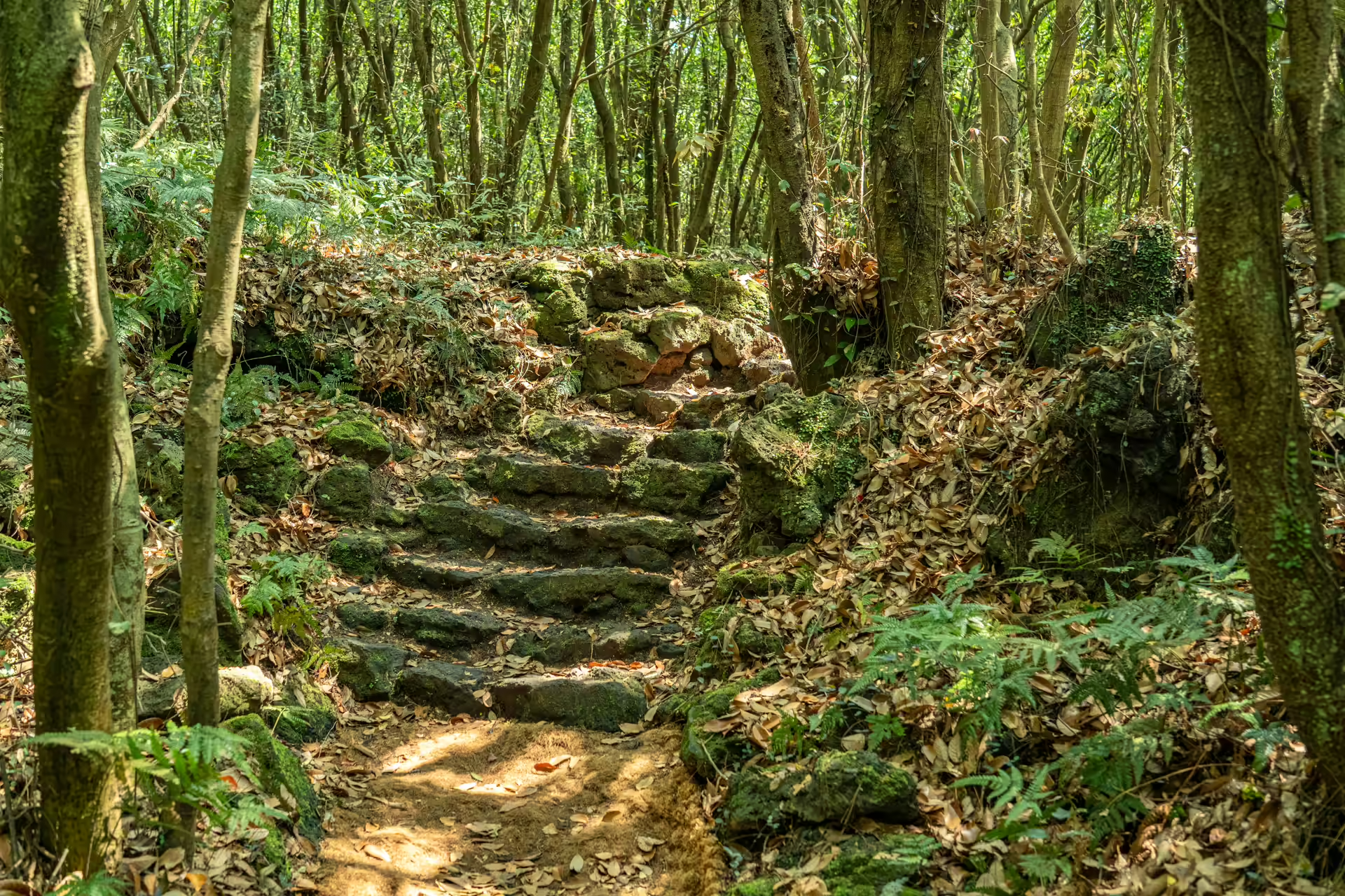
What makes it strange is the ground. Gotjawal grows on lava that never weathered into proper soil — rubbly, fractured, riddled with gaps. Rain falls straight through instead of running off. Researchers at the National Institute of Forest Science measured the water cycle in two gotjawal tracts and found that an average of 42 percent of rainfall is stored underground. Scaled up, that is on the order of twelve million metric tons a year, which the study equated to roughly 15 percent of the water supplied to Jeju’s 700,000 residents in a year. The island’s famous bottled water starts as rain that fell on ground like this.
The gaps do something else. Air moving through the fractured rock holds close to 15°C year-round, so the forest floor stays cool in August and mild in January. That is why southern-limit and northern-limit plants grow within meters of each other here, an overlap you do not get in an ordinary temperate wood.
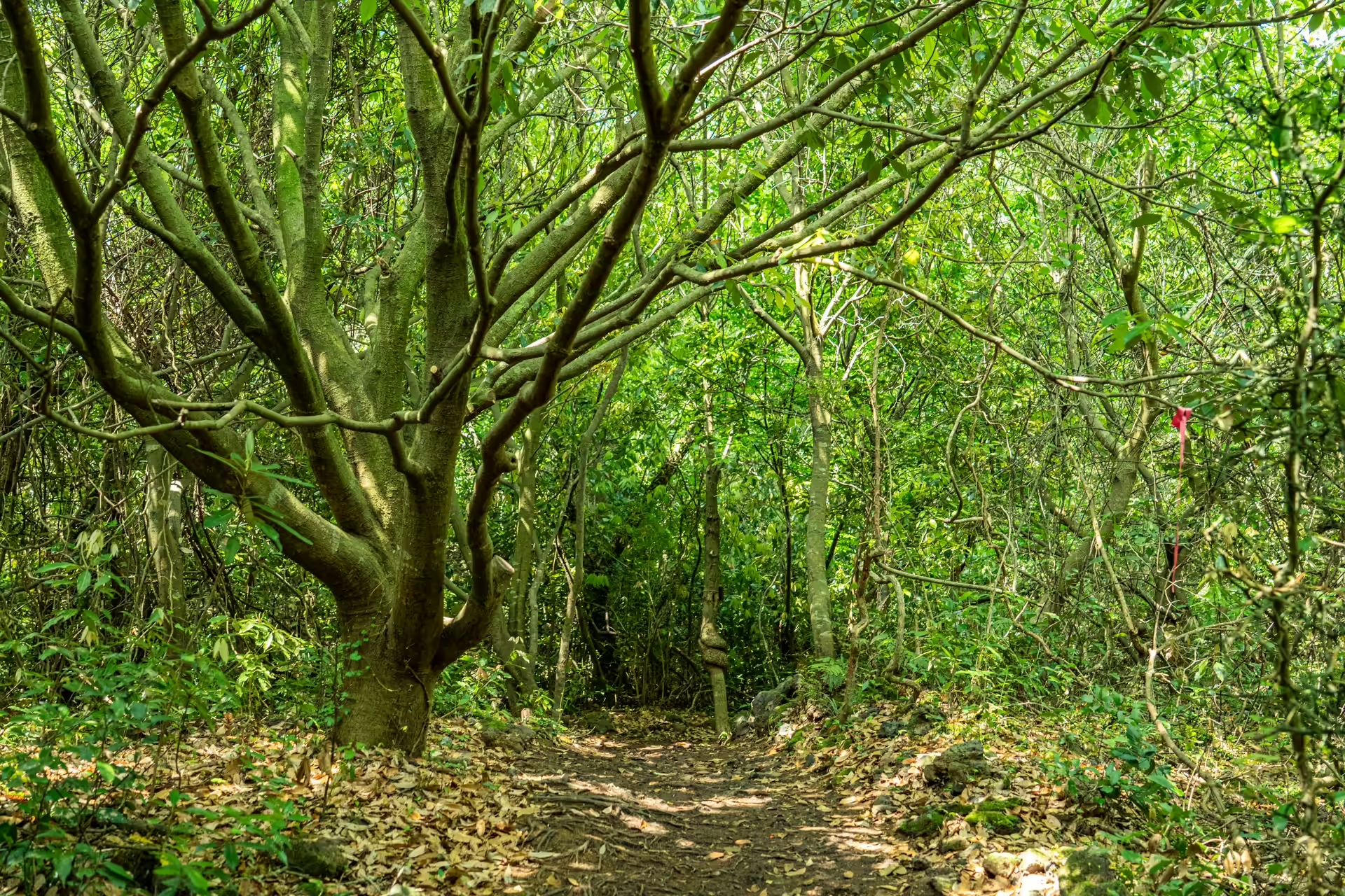
One correction worth carrying in, because guidebooks get it wrong: this is not virgin forest. For centuries the gotjawal was a charcoal supply, cut on roughly thirty-to-forty-year rotations. Species that resprout from the stump survived that treatment and species that do not were quietly eliminated. The multi-stemmed evergreen oaks you walk past are the result. It is a forest that regrew, repeatedly, around human work — which I find a better story than the untouched-wilderness version anyway.
The Shoe Rule, and Why It Isn’t Fussy
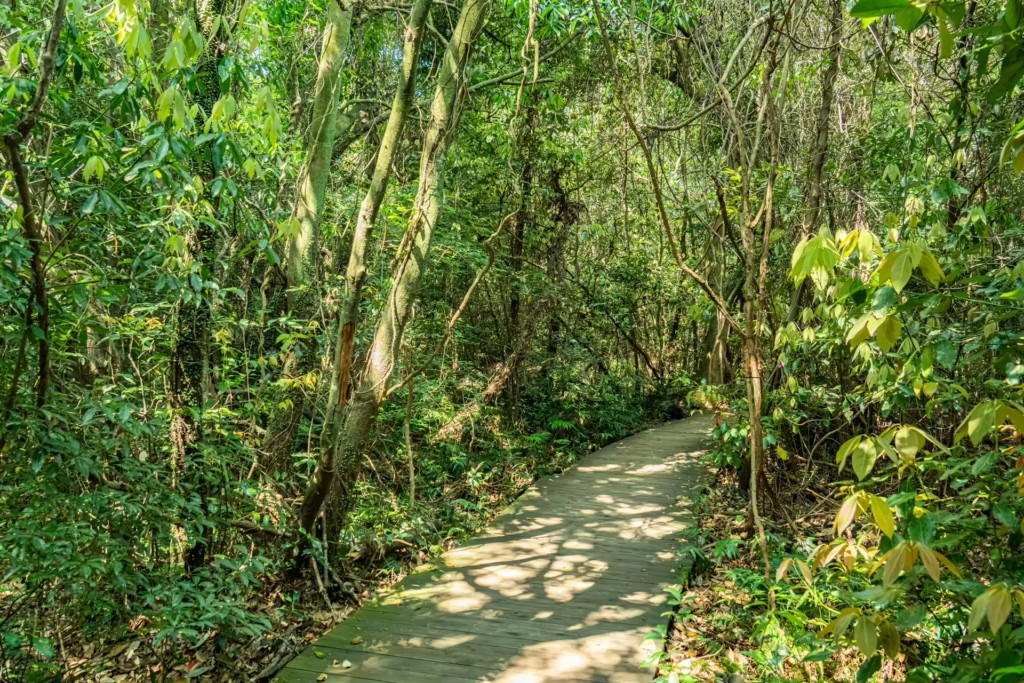
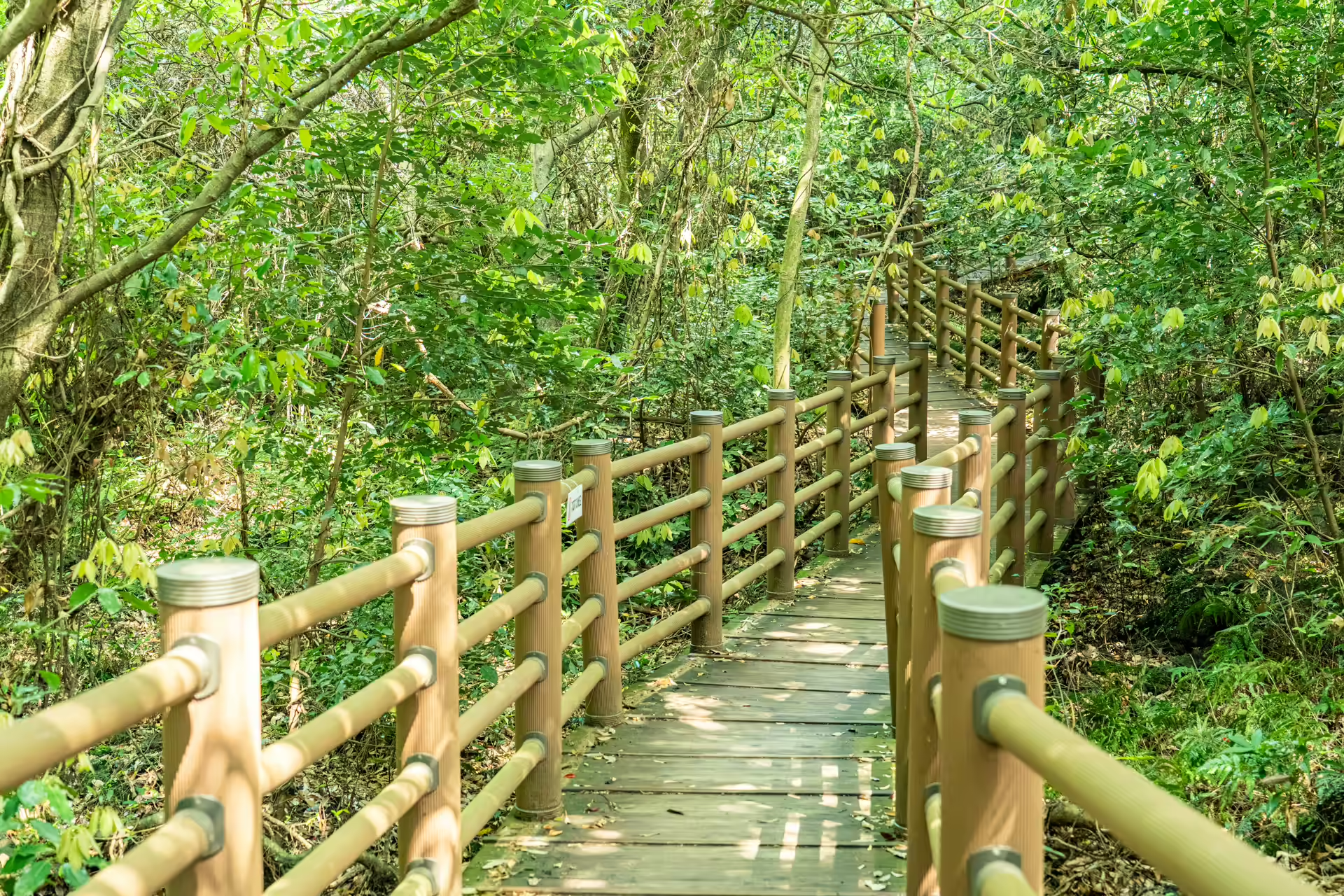
The posted rule bans dress shoes, open-toe sandals — including the strappy outdoor kind — and platform sneakers. Turn up in any of those and you are limited to Course 1, the 1.8-kilometer loop out to the tower and back, which is decked or paved most of the way. Long sleeves and long pants are recommended rather than required.
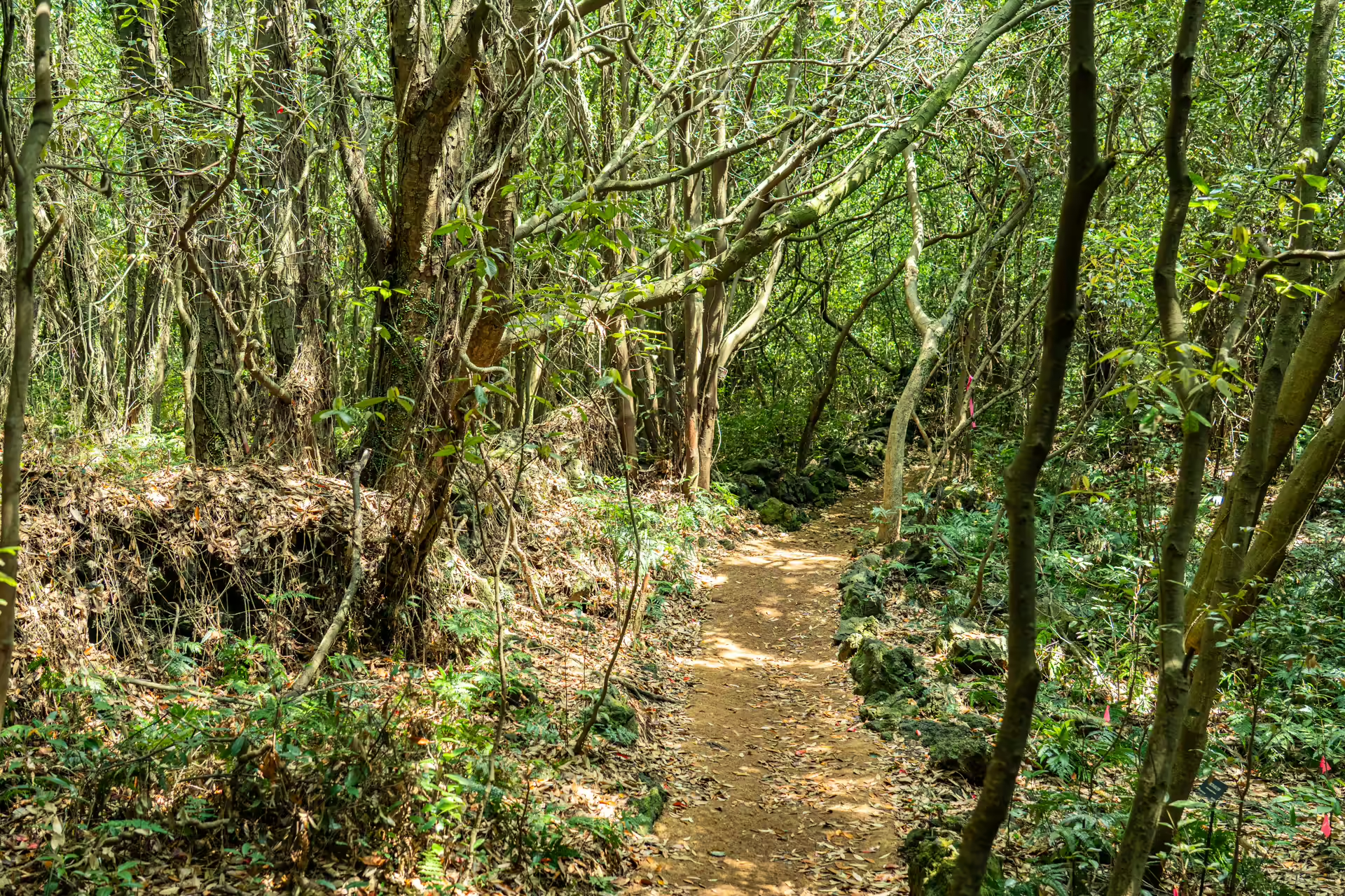
Two other rules trip people up. There are no restrooms on the trails, only at the visitor center, and the longest loop runs two and a half hours. And umbrellas, trekking poles and crampons are all prohibited on the trail to limit damage to the ground — so if it is raining, bring a jacket with a hood rather than an umbrella. Pets are not allowed at all.
Five Trails, Five Loops: Picking a Route
The park names five trails, and then bundles them into five suggested loops. The trails, per the park’s own figures: Teuri-gil, 1.5 km, 30 minutes, named for the herders who once drove cattle through here. Hansugi-gil, 0.9 km, 20 minutes, cut by villagers to reach farmland. Bille-gil, 0.9 km, 20 minutes, running over a flat lava plateau — bille is the Jeju word for it. Ochani-gil, 1.5 km, 30 minutes, named after a man said to have lived in one of the caves. And Gasinang-gil, 2.2 km, 45 minutes, through a stand of thorny oak left as it was.
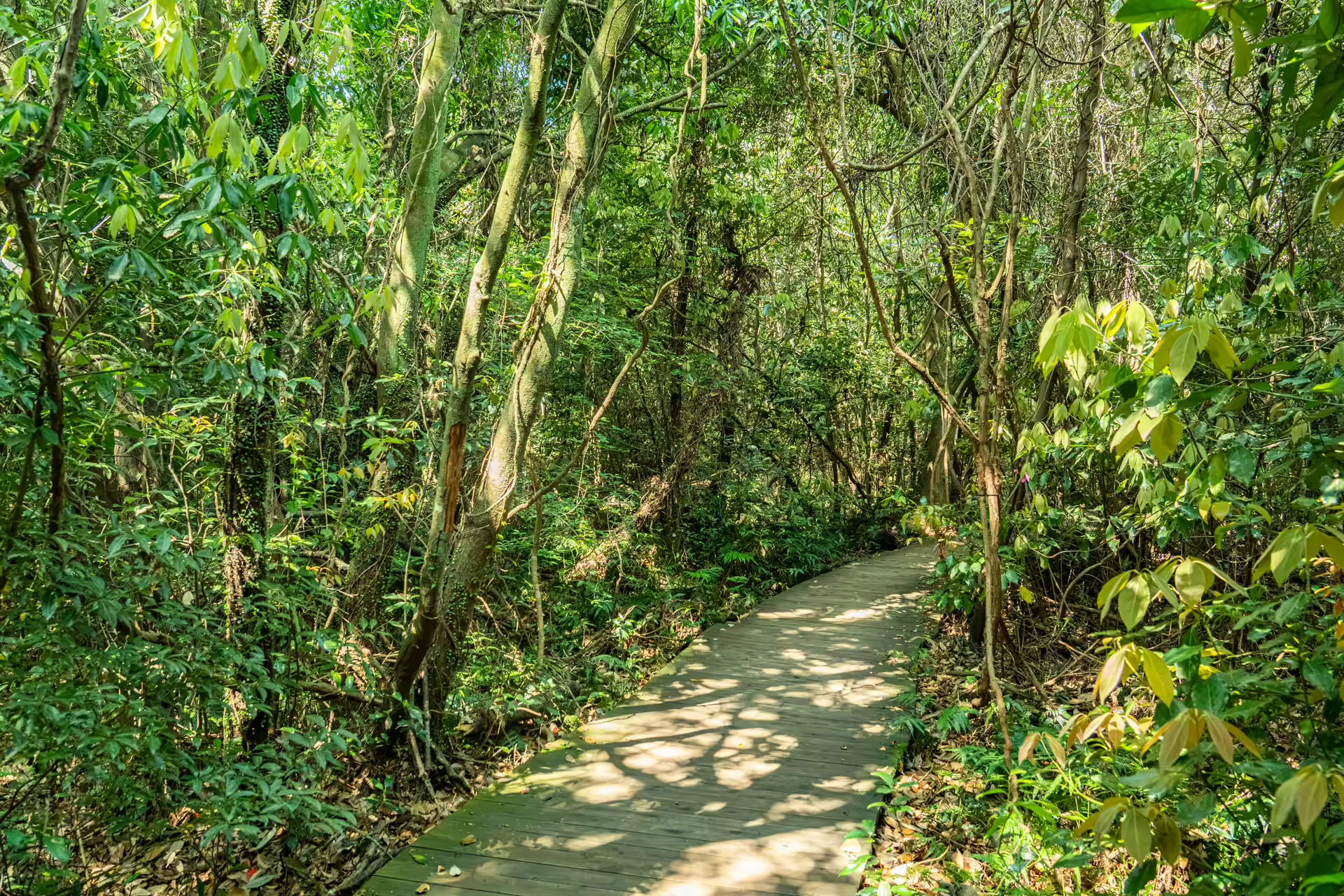
The loops stack those together: Course 1 is 1.8 km in 40 minutes, Course 2 is 3.8 km in 80, Course 3 is 4.0 km in 90, Course 4 is 4.5 km in 100, and Course 5 is the longest at 6.7 km in 150 minutes. The loops overlap and double back, so the five trail distances do not simply add up to Course 5. Every loop starts and ends at the visitor center, and every one of them passes the tower.
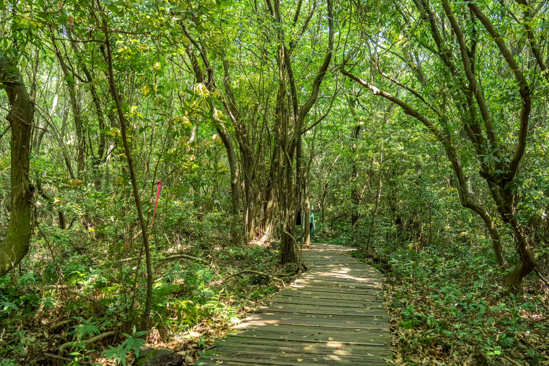
If you have one visit and a normal amount of energy, take Course 3. It gets you onto Ochani-gil and Bille-gil, which is where the terrain stops looking like a park and starts looking like lava, and it still returns you to the car in an hour and a half. Course 1 is the honest choice with small children, in bad weather, or in the wrong footwear — it is short, it is largely decked, and it does not pretend to be more.
The 15-Meter Tower
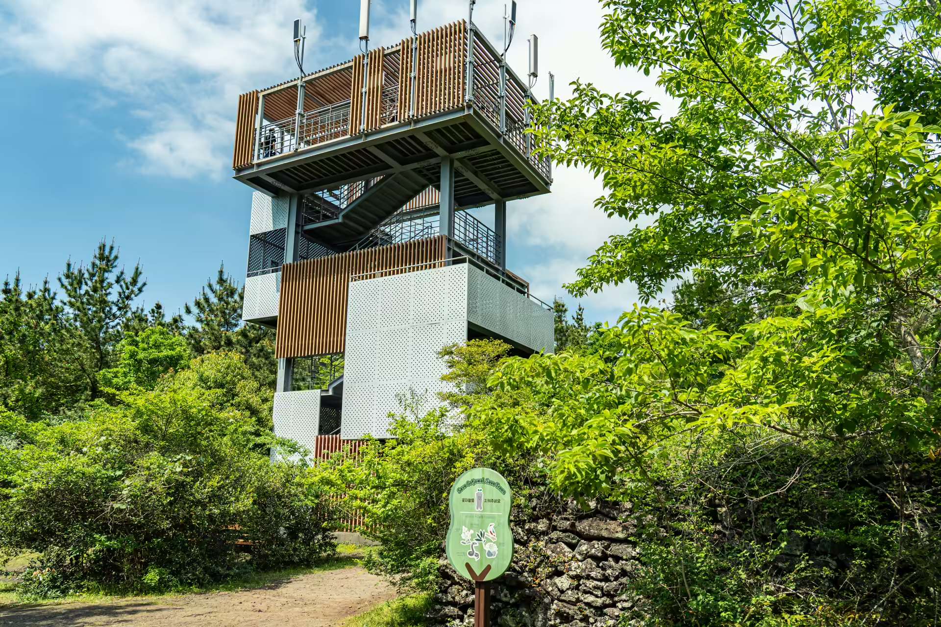
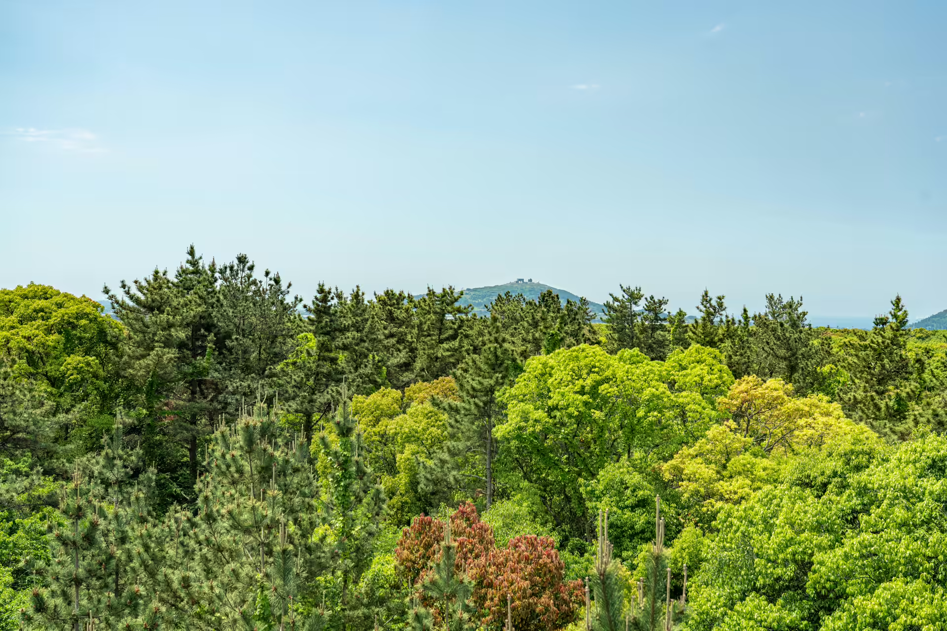
The tower stands where Teuri-gil, Bille-gil and Ochani-gil meet, and it is the one piece of engineering in the park that changes what you understand. At ground level a gotjawal is a wall of green with a path cut through it. Fifteen meters up, you see that the canopy is not level — it dips into hollows where the lava collapsed and rises over the mounds between them. The shape of the flow is legible from above and invisible from below.
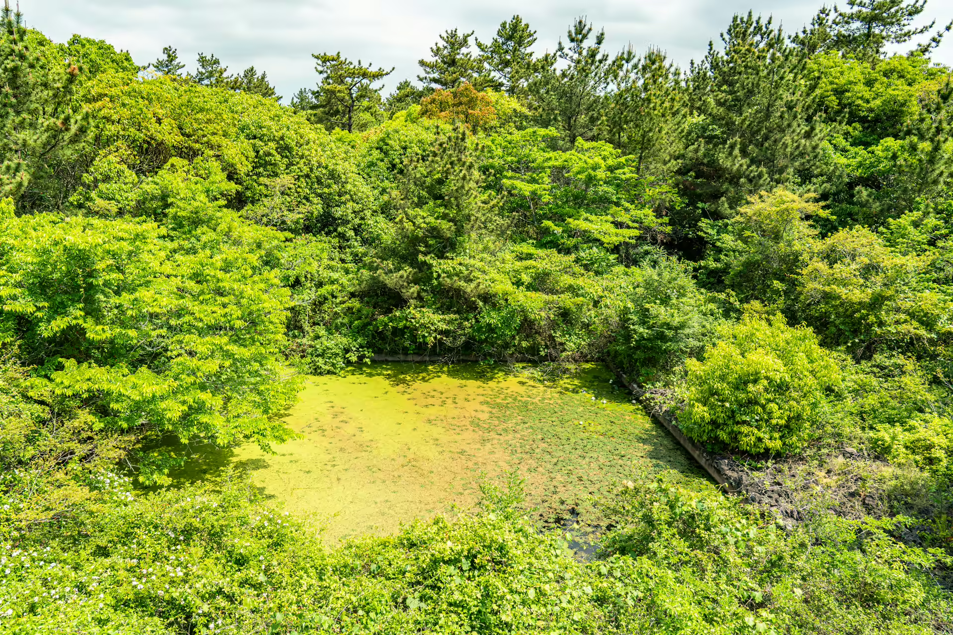
The lava under your feet came from Doneori Oreum, a cinder cone on the Hallim–Andeok boundary, and it produced the longest of the gotjawal flows on the island — it reached all the way down to the southwest coast at Daejeong. This park sits on the tail of it, in the Hangyeong–Andeok gotjawal zone, the largest of Jeju’s four. It is pahoehoe, the smooth-flowing kind, not the blocky aa lava most descriptions of gotjawal default to.
Charcoal Kilns, Caves and a Village That Handed Over Its Land
The park counts ten stone structures, one charcoal kiln site and four natural caves inside its boundary, and it signposts them as heritage rather than scenery. The trail map also marks a site connected to the Jeju Uprising of 1948, when the gotjawal’s impassability made it a refuge. Walking a route named after herders, past a kiln, past a cave mouth, past that marker, the forest reads less like wilderness and more like a place people kept using because it was hard to reach.
The park exists in its current shape because Sinpyeong-ri village agreed to let roughly 485,000 square meters of communal land be used at no cost — close to a third of the total area. Residents went on to work as forest guides. That is unusual enough in Korean park development to be worth stating plainly.
The Free Guided Walk
Twice a day, at 10 a.m. and 2 p.m., a guide takes a group of about fifteen from the trail entrance out to the tower and back — roughly one kilometer, about an hour, no reservation, no extra fee beyond your ticket. Arrive ten minutes early and wait at the shelter just past the ticket gate. The guided walk is the one thing that pauses for Lunar New Year and Chuseok; the park itself stays open on those days and self-guided walking goes ahead as normal.
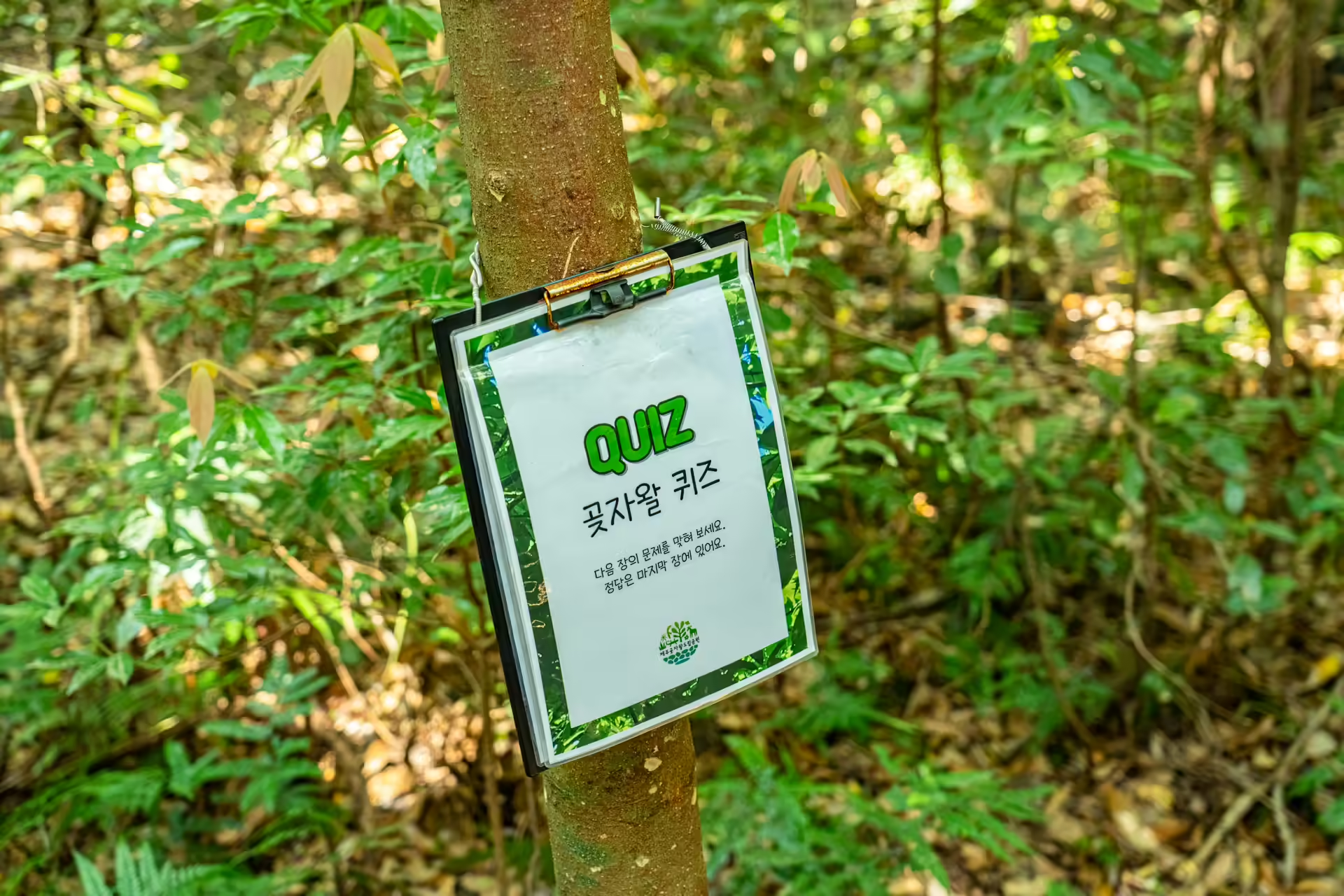
The commentary is in Korean. There is, however, an English forest interpretation tour. The park added it in 2025 and runs it every Saturday at 11 a.m. for about an hour, gathering at the Haekkeullak rest shelter to the right of the trail entrance, on the same terms as the Korean walk — no extra charge beyond the ticket. The sessions posted on the park’s own board stop in mid-June, when it closed for construction, so whether the Saturday tour resumed with the August reopening is worth a call to 064-792-6047 before you build a weekend around it.
Who This Is Actually For
Go if you want to understand what the ground under Jeju is doing, and you are willing to walk on it for ninety minutes to find out. Go if you are traveling with someone who cannot manage rough surfaces — Course 1 and the rebuilt decking exist precisely for that, and the park is honest about where the easy part ends. Go if you are staying anywhere near the southwest, because the 151 makes it trivial.
Skip it if you want a view. There isn’t one, apart from the tower. Skip it if your Jeju day is already stacked with photogenic set pieces — this is a slow forest and it rewards being the only thing on the afternoon’s list. And skip the longer loops in heavy rain; with umbrellas banned and the surface as it is, Course 1 is the sensible version of the same day.
There is a version of this park that would have been built anyway — the tower, the decking, the ticket window, the parking lot. What makes it unusual is the arrangement underneath. Close to a third of the ground you walk on belongs to Sinpyeong-ri and was handed over for public use at no charge, and villagers went on to work as the guides who explain it. A thousand won does not pay for that, and nothing else does either. It was a decision somebody made about their own land, and you spend the afternoon walking around inside it.
The Travel Manual: Jeju Gotjawal Provincial Park
| Address | 178 Educity-ro, Daejeong-eup, Seogwipo-si, Jeju 제주특별자치도 서귀포시 대정읍 에듀시티로 178 |
| Phone | 064-792-6047 |
| Website | jejugotjawal.or.kr · the tourism board’s English listing is at Visit Jeju |
| Admission | Adults (25–64) 1,000 won · Youth (13–24) 800 won · Children (7–12) 500 won. Free for under-7s, over-65s, Jeju residents and several other categories with photo ID. |
| Hours | Open daily. Last admission 4:30 p.m. and closing 6 p.m. (March–October); last admission 3:00 p.m. and closing 5:00 p.m. (November–February). Closed to entry in typhoons and heavy weather. |
| Trails | Course 1 1.8 km / 40 min · Course 2 3.8 km / 80 min · Course 3 4.0 km / 90 min · Course 4 4.5 km / 100 min · Course 5 6.7 km / 150 min |
| Guided walk | Korean, daily 10:00 and 14:00, about 1 hour, ~15 people, first-come, no extra charge. English tour Saturdays at 11:00, added in 2025, meeting at the Haekkeullak shelter — confirm by phone that it resumed after the summer closure. |
| Footwear | Hiking shoes or sneakers required for full access. Dress shoes, open-toe sandals and platform sneakers restrict you to Course 1. |
| Not allowed | Pets, umbrellas, trekking poles, crampons. No restrooms beyond the visitor center. |
| Getting there | Express bus 151 direct from Jeju International Airport to the Gotjawal Provincial Park stop, then 5 minutes on foot. From Seogwipo, 181 or 282 to Donggwang transfer stop, then 151. Free parking, with accessible bays beside the entrance. |
| Time needed | 1.5 hours for Course 3; 40 minutes if you only want the tower. |
Navigation Tip: Google Maps does not do driving directions in Korea. Download Naver Map (or KakaoMap) and search the Korean address above — copy and paste it rather than typing it. Papago handles the signage and the ticket window better than Google Translate does for Korean.
Sleeping nearby? The southwest corner puts you within twenty minutes of the resort cluster at Jeju Shinhwa World, which is the easiest base if you are pairing this with the tea museum and the aviation museum on the same road.